 Biking
 Login
Login
 More
More
 EN
EN
 Premium
Kampina and Oisterwijk Forests and Fens
automatic translation
57.6 km • Hilvarenbeek
8.56114 0 0/5

 Addresse starting point (approximate)
Julianastraat 30, 5087 BB Diessen, NL
 signage
The route is fully signposted with nodes.
 Description
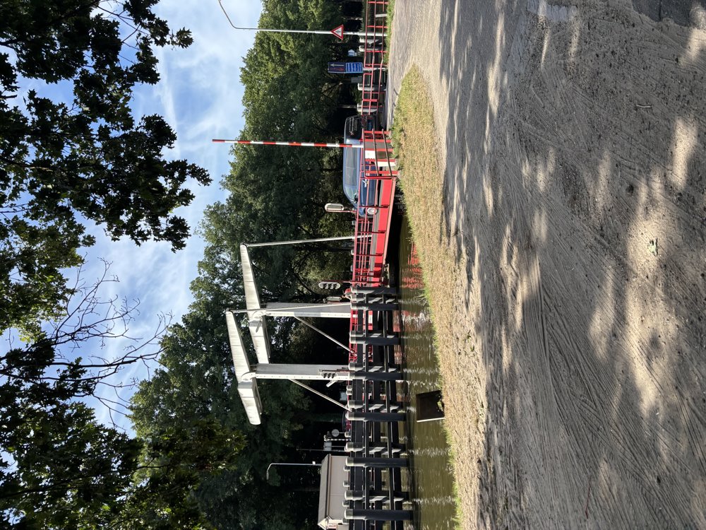
This varied cycling tour starts in Diessen and quickly leads to the Wilhelmina Canal, which is crossed via a drawbridge.
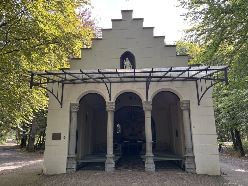
Shortly thereafter, there is a visit to the chapel of Our Lady of the Oak, idyllically situated in the greenery.
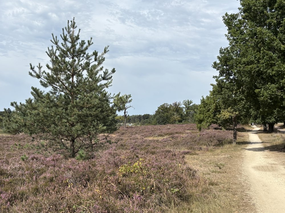
Through open agricultural areas, tree-lined roads, and a short section along the railway, we reach Lennisheuvel. Cycling through the village center, we continue towards the Kampina, a vast nature reserve with forests, heathlands, and brook valleys.
We traverse this landscape on quiet cycling paths until we reach Oisterwijk. From the center, we head south and ride through the Oisterwijk Forests and Fens nature reserve, known for its mix of forest, lakes, and small heathlands.
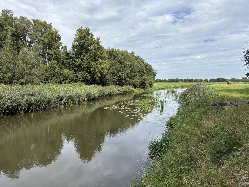
After this nature area, the route continues through a typically Dutch agricultural landscape. In Haghorst, we cross the Wilhelmina Canal once more. Via junction 2, we return to junction 61 in Diessen, where this tour ends.
automatic translation
 nodes to follow
0 km
0 km
1.3 km
1.4 km
4.1 km
7.4 km
11.5 km
13 km
16.9 km
17.8 km
17.8 km
21.4 km
22.5 km
24.8 km
26.5 km
29 km
29.7 km
34.2 km
36.9 km
37.5 km
38.3 km
39.2 km
39.6 km
41.9 km
41.9 km
42 km
43 km
43.2 km
44.2 km
45.2 km
46.2 km
47.2 km
48.1 km
50.7 km
52.7 km
56.2 km
56.3 km
57.5 km
57.6 km


 Upgrade to Premium Plus
