 Biking
 Login
Login
 More
More
 EN
EN
 Premium
Neterselse Heide and Kempenland West
automatic translation
57.2 km • Hilvarenbeek
5.9912 0 0/5

 Addresse starting point (approximate)
Julianastraat 33, 5087 BA Diessen, NL
 signage
The route is fully signposted with nodes.
 Description
We start in Diessen and cycle southwards past the Mariagrot in Baarschot.
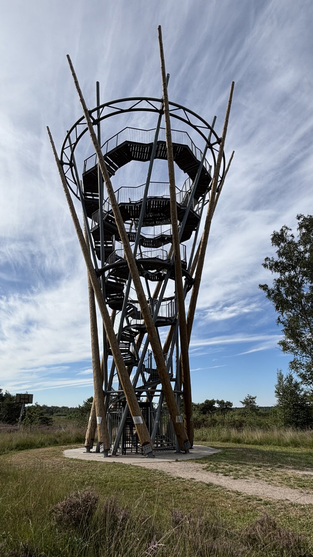
Next, we reach the Neterselse Heide, featuring the ponds Het Goorven and De Flaes and the striking Flaestoren. On quiet, narrow cycle paths through a wooded area, we ride via the center of Lage Mierde to the expansive Estate De Utrecht.
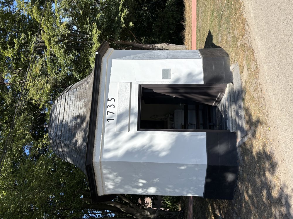
Just before the border with Belgium, on the way to Poppel, we stop at the artwork Verroeste PK's. From Poppel, we cycle past the Rovert Chapel from 1735 and return to the Netherlands at border post 209. The route continues on paved and unpaved paths towards Goirle and then to Hilvarenbeek.
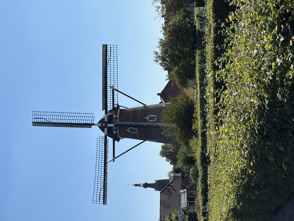
A break is possible before the center at Herberg Den Hemel. We pass the mill De Doornboom and return via the old forests of Annanina's Rust to Diessen.
automatic translation
 nodes to follow
0 km
0 km
0.4 km
2.5 km
2.5 km
4.1 km
5.3 km
5.6 km
6.3 km
7.7 km
10.2 km
12.9 km
13 km
13 km
13.8 km
16.2 km
19.8 km
23.8 km
23.8 km
23.9 km
23.9 km
23.9 km
23.9 km
23.9 km
25.4 km
26.2 km
31.9 km
32.9 km
38.1 km
39.4 km
40 km
43.5 km
44.4 km
44.6 km
46.4 km
48.3 km
51.5 km
54 km
57.2 km
57.2 km


 Upgrade to Premium Plus
