 Biking
 Login
Login
 More
More
 EN
EN
 Premium
Through Woods and Heath of the Sallandse Heuvelrug
automatic translation
62.8 km • Ommen
4.5801 0 0/5

 Addresse starting point (approximate)
Knollenhaarweg 7-015, 7447 PP Hellendoorn, NL
 signage
The route is fully signposted with nodes.
 Description
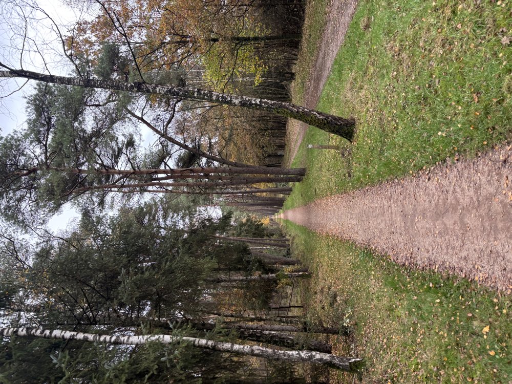
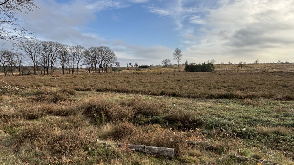
We start at the holiday park Hof van Salland and cycle through the woods and heath of National Park De Sallandse Heuvelrug.
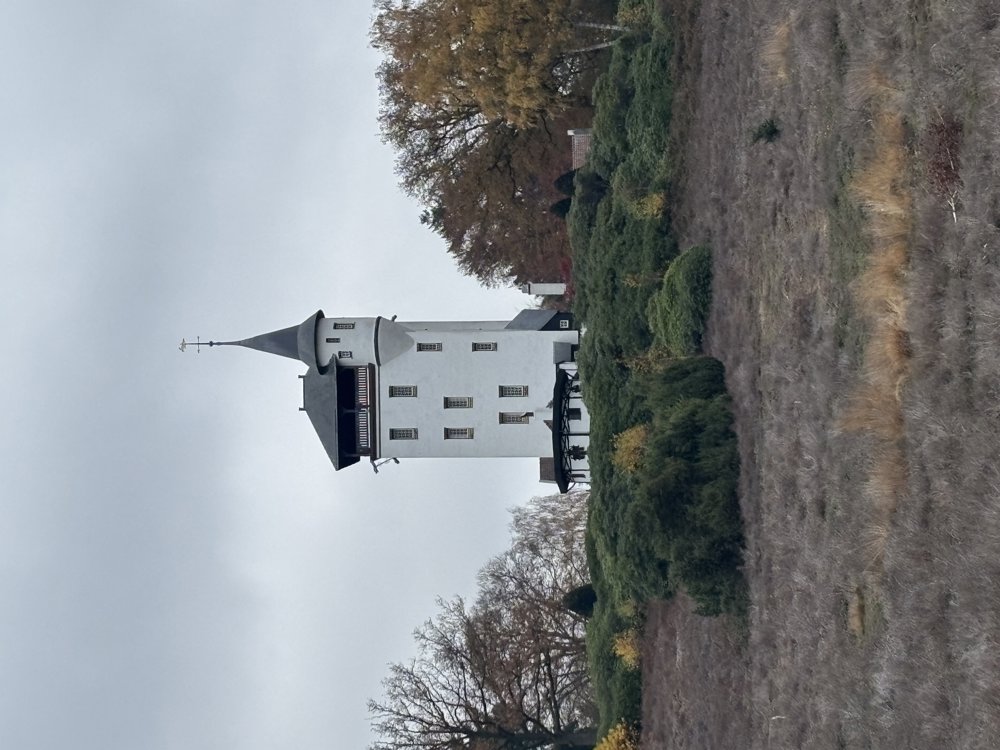
Along beautiful cycle paths, we enjoy the vast nature. To our left is the Sprengenberg, where the Palthetoren stands proudly on the hill amidst the heath landscape.
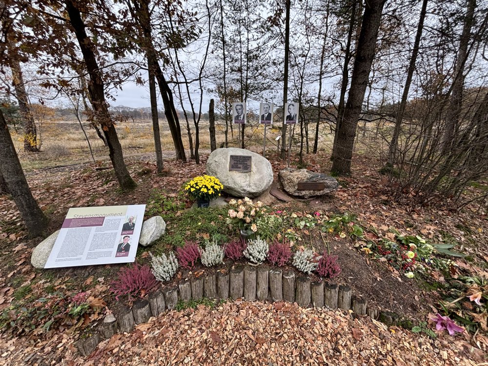
A little further, we stop at the Stevens monument, erected at the spot where refugee and resistance fighter Marinus Stevens was shot by the Germans on October 14, 1944. We then set course towards Holten.
In the vicinity of the Holterberg Natural History Museum, there are several dining establishments. Just before Holten, the route turns northwards again, and we cycle past the pingo ruin in the marshy Zunasche Heide.
From junction 58 we cross the heath right over the Sallandse Heuvelrug. Via the center of Nijverdal, we reach Hellendoorn, where we cycle past the windmill De Hoop.
Along Eelerberg and through KP 8, 19, 1, and 7, we return to Hof van Salland, where this tour ends.
automatic translation
 nodes to follow
0 km
1.7 km
3.2 km
4 km
6.9 km
8.9 km
13.8 km
13.8 km
14.4 km
17.5 km
18.7 km
20.7 km
23.9 km
26.5 km
28.9 km
32.5 km
32.7 km
33.4 km
37.7 km
39.9 km
44.6 km
49.5 km
50.7 km
50.8 km
53.2 km
54.8 km
58.5 km
59.7 km
61.1 km
62.8 km


 Upgrade to Premium Plus
