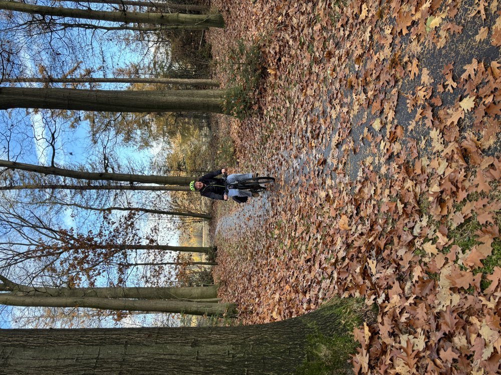
 Biking
 Login
Login
 More
More
 EN
EN
 Premium
Vecht and Lower Regge Area
automatic translation
67.4 km • Hellendoorn
3.6461 0 0/5

 Addresse starting point (approximate)
Overijssels Kanaal, 7447 TA Hellendoorn, NL
 signage
The route is fully signposted with nodes.
 Description
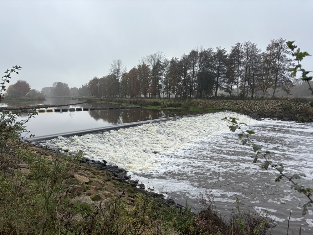
Start KP85 at fish pass Hancat Regge.
We cycle northwards along the Beneden Regge to the fish pass Archem. We briefly follow the Linderbeek to turn left a bit further into the Vecht and Beneden-Regge area. We pass a memorial stone of the Liberation Route and the monument of an Australian pilot.
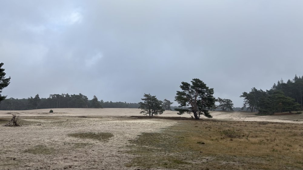
We traverse this beautiful natural area along lovely paths and take a brief pause at the Sahara. Further along, we take a break at the lunch restaurant Junners for a snack and/or a drink.
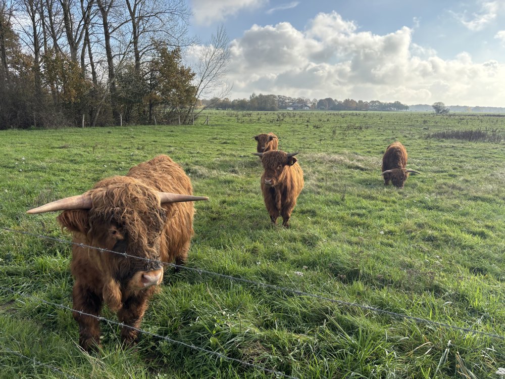
We cross the Vecht along a meadow with Scottish Highlanders. At the intersection of the N36 and N34, we make a small detour to then cross the N34. We cycle on small paths through a wooded area towards Diffelen and Mariënberg. On the way, look out for the artwork featuring silhouettes of submarines from WWII.
We head towards De Zandstuve to then reach the Overijssels Canal. From here, we cycle along the Southern Canal Dike back to KP85.
automatic translation
 nodes to follow
0 km
2.1 km
4.6 km
5 km
7.4 km
9 km
10.1 km
12.6 km
13.9 km
16.2 km
18 km
18.1 km
18.7 km
21.3 km
24 km
28.8 km
31.8 km
35.4 km
35.9 km
41.7 km
42.4 km
43.7 km
44.4 km
45.8 km
50.9 km
52.9 km
55.7 km
56.1 km
59.3 km
60.6 km
62.9 km
65.4 km
66.7 km
67.3 km


 Upgrade to Premium Plus
