 Biking
 Login
Login
 More
More
 EN
EN
 Premium
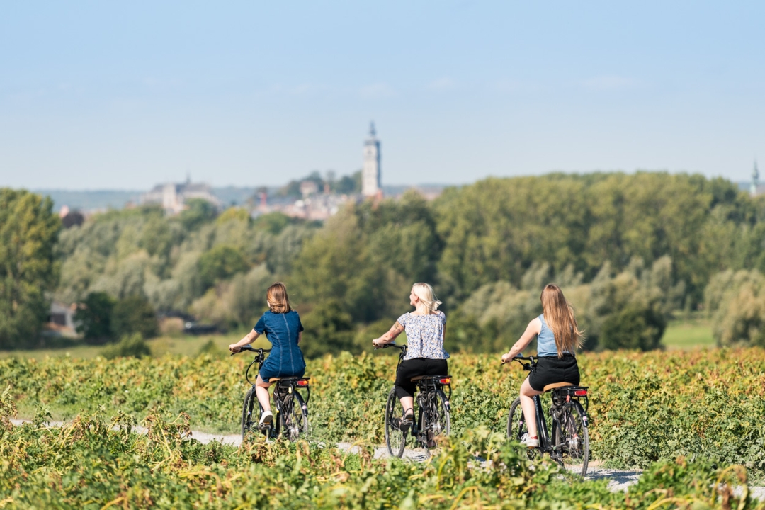
Exploring UNESCO heritage sites
19.4 km • Mons
 official route
2.0342 0 0/5
route offered by
 Addresse starting point (approximate)
Grand-Place, 27 (visitMons)
 signage
The route is fully signposted with nodes.

 Description
Hainaut, a Belgian province of which Mons is the capital, holds the national record for UNESCO-recognised heritage with 20 listed sites, buildings or events. In such a small territory, this is quite remarkable. Your ride begins in the heart of the town of the Doudou – that is, Mons itself. The Ducasse de Mons festival (also known as the Doudou), to which the Doudou museum is dedicated, is recognized as a masterpiece of oral and intangible heritage of humanity by UNESCO. Continue your ride towards the only baroque belfry in Belgium! This was declared a UNESCO World Heritage Site along with other belfries in Flanders and Wallonia in 1999. Don’t forget to tick rue de Nimy off your list – this is where the Mundaneum, also known as the “paper Google”, is found. This
archive and temporary exhibition venue was recognized by UNESCO in 2013. Continue to follow the cycle nodes and you’ll spot the Héribus slag heap. This remnant of the Borinage’s past offers an incomparable sight at its summit: the belfry and Collégiale Sainte-Waudru, neighbouring slag heaps, Mont Panisel, and more.
Before finishing your loop through Mons city centre, stop at Silex’s, an archaeological site in Spiennes believed to be one of the oldest and largest flint mining centres in Europe and recognized by UNESCO in 2000. Take advantage of the moment and head down into the mines!
 nodes to follow
0 km
2.3 km
2.4 km
3.5 km
5 km
7.7 km
7.8 km
10.1 km
12.6 km
13.2 km
13.6 km
14 km
15.7 km
16.3 km
17 km
19.4 km


 Upgrade to Premium Plus
