 Biking
 Login
Login
 More
More
 EN
EN
 Premium
Along Kempen heathland
automatic translation
44 km • 2930 Brasschaat
6.3387 1 4/5
route offered by
Toerisme Provincie Antwerpen
 Addresse starting point (approximate)
Perron Noord, Licht Vliegwezenlaan 11
 signage
The route is fully signposted with nodes.
 Description
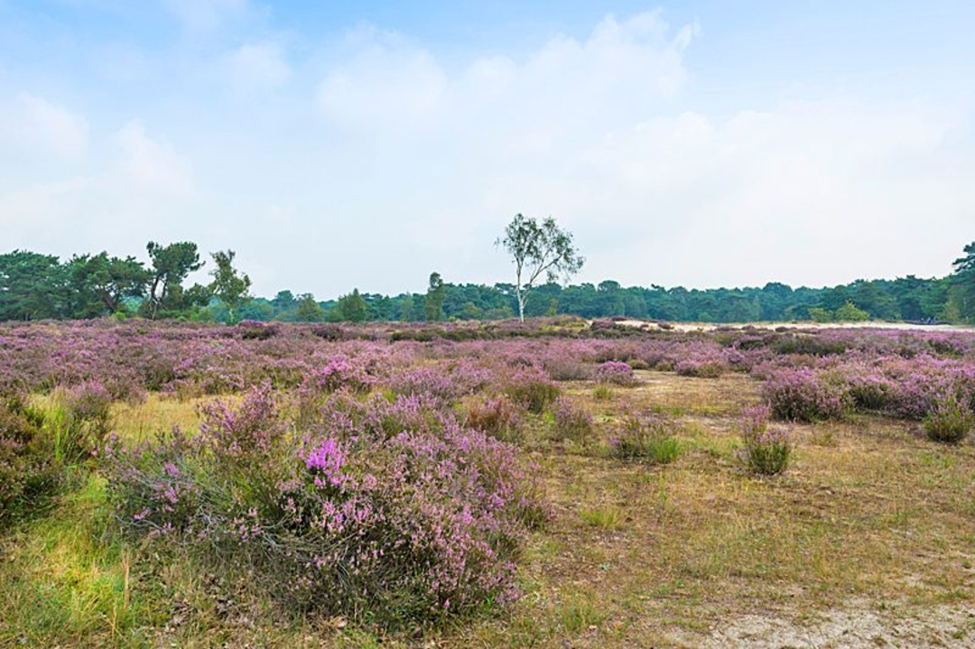
Lots of green, purple and a lot of other colors on this route!
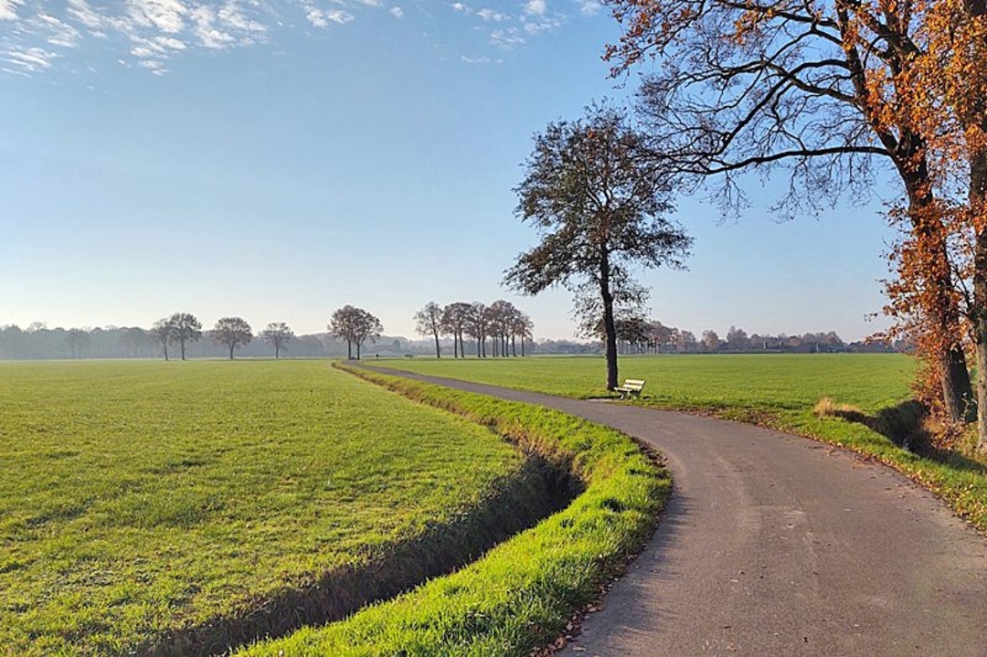
You cycle past such highlights as Grenspark Kalmthoutse Heide, Arboretum Kalmthout, Park Franciscanessen and Klein Schietveld. Furthermore, lots of atmospheric terraces and picnic spots.
Location: Brasschaat, Kalmthout and Wuustwezel
eye-catchers:
Brasschaat Airfield with Gunfire Museum,
Klein Schietveld,
Onthaalpoort De Vroente and Bee-keeping Museum,
(silence area) Border Park Kalmthoutse Heide,
Arboretum Kalmthout,
Suske en Wiske Museum
Franciscan park
Recommended: turn the 'wieleke' at the entrance of Park Franciscanessen and listen to facts about the evolving landscape
barrier-free: Bistro Perron Noord and Suske en Wiske Museum
#Instagram: Brasschaat Airport and Park Franciscanessen
picnic: De Vroente, Grenspark Kalmthoutse Heide and Park Franciscanessen; check out the fun formulas of Piknikfabrik
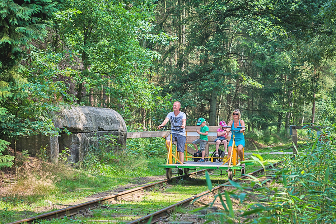
child-friendly: playground/rail bikes Perron Noord and Suske en Wiske Museum
reca: catering establishments Kalmthout Station Heide, Bosbar Kalmthout and Bistro Perron Noord
accommodation: Hotel Jerom, vacation home De Zandloper and B&B Villa Konijnenberg
automatic translation
 nodes to follow
0 km
2.7 km
3.5 km
5.7 km
6.8 km
8.5 km
13.4 km
15.1 km
19.4 km
22 km
24.7 km
29 km
32 km
34 km
38.7 km
40.4 km
44.1 km


 Upgrade to Premium Plus
