 Biking
 Login
Login
 More
More
 EN
EN
 Premium
Boundless enjoyment
automatic translation
51.7 km • 2320 Hoogstraten
 official route
4.5634 0 0/5
route offered by
 Addresse starting point (approximate)
Recreatiedomein De Mosten, Hoogeind 74b
 signage
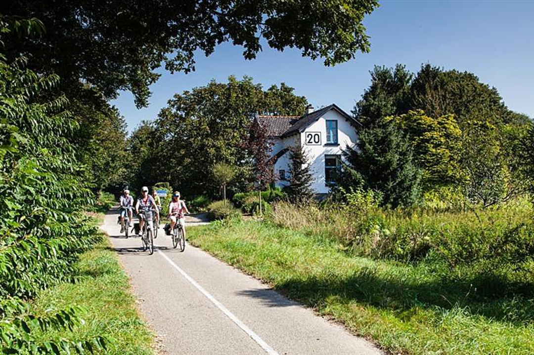
The route is fully signposted with nodes.
 Description
The Belgian-Dutch border region is full of discoveries. Like the intriguing twin village of Baarle. The Bels Lijntje, the popular bicycle connection between Turnhout and Tilburg. Wortel-Kolonie, recently a UNESCO world heritage site. Plus the photogenic valley of the river Mark.
Location: Hoogstraten, Merksplas, Baarle-Hertog and Baarle-Nassau.
Highlights:
Recreation domain De Mosten
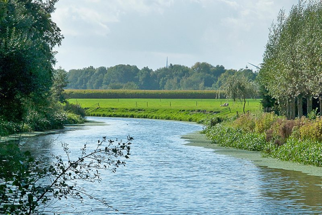
valley of the Mark, Dodendraad
enclave village Baarle
Bels Line
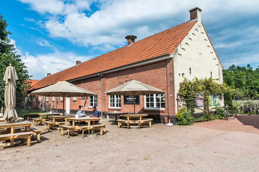
Carrot Colony with visitor center De Klapekster
The Laer Mill
Highly recommended: be sure to stop at the poos places along the Mark, with poetic texts carved in stone
automatic translation
 nodes to follow
0 km
0.8 km
1.8 km
5.9 km
9.6 km
9.7 km
13.2 km
15 km
15.1 km
17.6 km
20.1 km
20.1 km
20.1 km
20.4 km
22.1 km
22.7 km
24 km
24.8 km
27.6 km
33.9 km
34.5 km
36.6 km
38.6 km
42.1 km
45.9 km
48.5 km
48.7 km
50 km
50.9 km
51.7 km


 Upgrade to Premium Plus
