 Biking
 Login
Login
 More
More
 EN
EN
 Premium
Valley of the Great Nete
automatic translation
37.2 km • 2220 Heist-op-den-Berg
3.7357 1 2.5/5
route offered by
Toerisme Provincie Antwerpen
 Addresse starting point (approximate)
Provinciaal Groendomein De Averegten - Langendijk 17
 signage
The route is partially signposted with nodes. Use a GPS device or our app to follow the route.
 Description
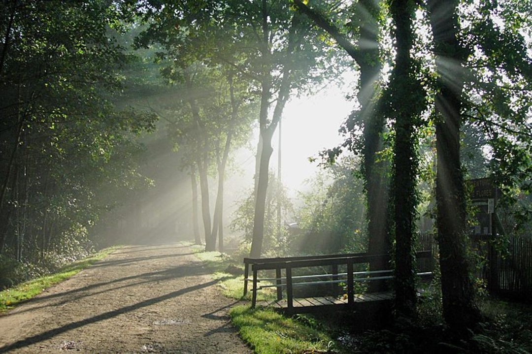
Follow the riverbank of the Grote Nete and enjoy the tranquility and beautiful, typical Kempen views. In De Averegten you knit a pleasant or relaxing end to your cycling tour.
eye-catchers:
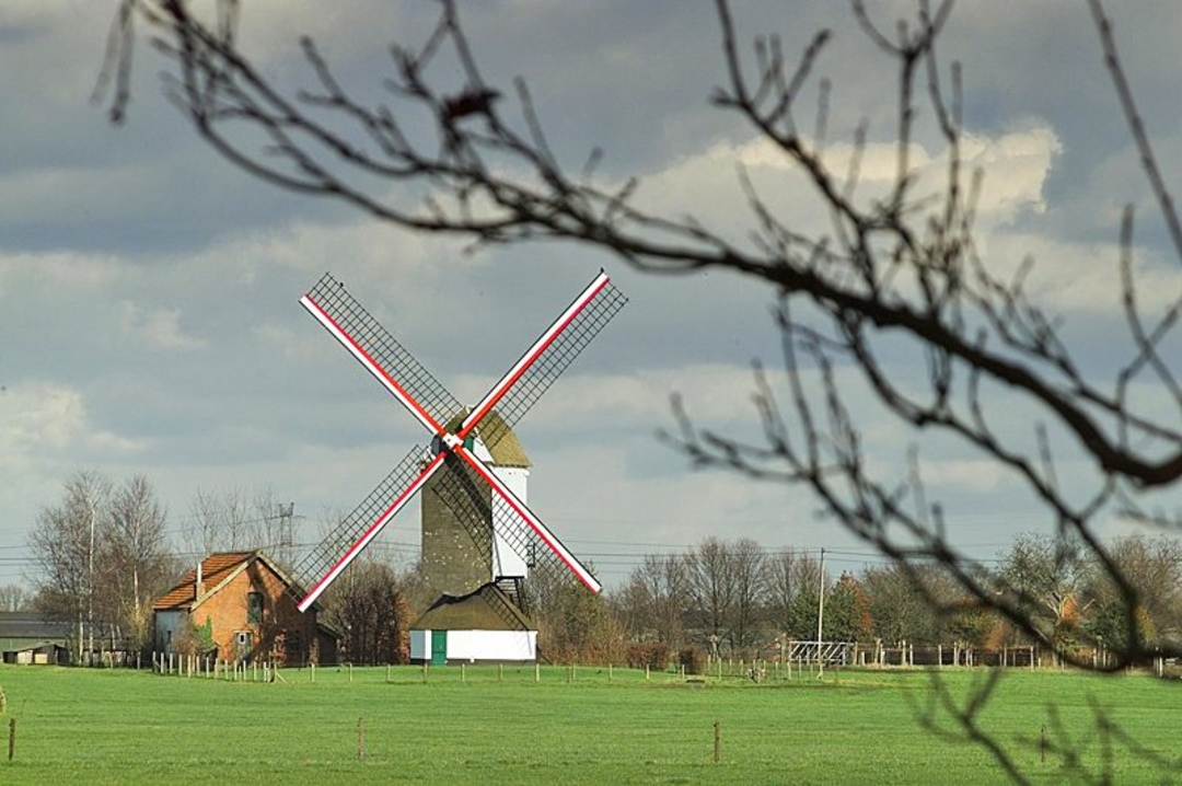
De Averegten, 't Schipke aan de Nete, Merodebos, Molen van Bouwel, Hogewegmolen and Kempen-Hagelandroute with remnants of railroad history
Recommendation: cycle along a former military railroad line from KP 66 to KP 65 to Kamp C, provincial center for sustainable building and living in Westerlo.
barrier-free: wheelchair-friendly footpath in De Averegten
Instagram: the surroundings of 't Schipke on the Nete in Herenthout
Picnic: rest benches in the Merodebos
child-friendly: natural playground Hobbeldonk, play woods and playground in De Averegten
reca: restaurant-bistro Boshuis in De Averegten and restaurant 't Schipke on the Nete
accommodation: 't Averhuys in Heist-op-den-Berg
automatic translation
 nodes to follow
0 km

0.4 km
0.8 km
1.7 km
2.4 km
6.8 km
7.3 km
11.3 km
11.6 km
12.7 km
15.3 km
20.3 km
20.7 km
22.7 km
24.7 km
25.6 km
27.5 km
31.2 km
32 km
36.5 km
37.5 km


 Upgrade to Premium Plus
