 Biking
 Login
Login
 More
More
 EN
EN
 Premium
Lier and the Nete, gateway to the Kempen
automatic translation
91.1 km • Sint-Katelijne-Waver
22.6237 0 0/5

 Addresse starting point (approximate)
Bemortelloop, 2860 Sint-Katelijne-Waver, BE
 signage
The route is fully signposted with nodes.
 Description
We depart from the parking lot at the cemetery of Sint-Katelijne-Waver (Zonstraat) and ride along Bredeheide to our starting point 91, 500 meters further.
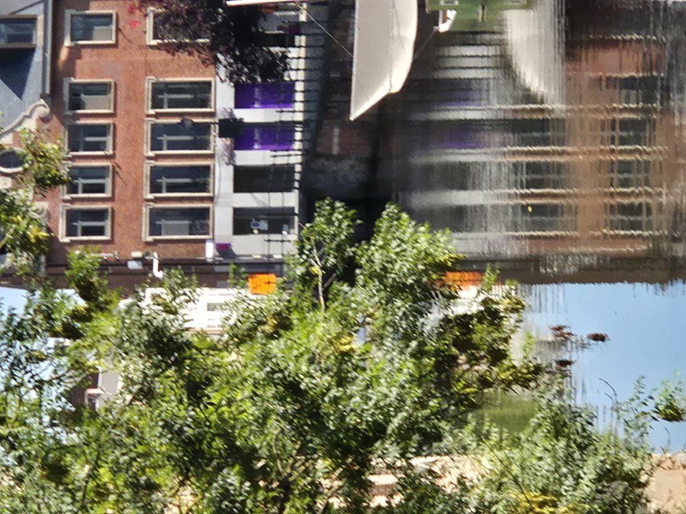
We quickly arrive in Duffel on the Nete. Along the Nete, we cycle to Lier. In Lier, we pass by the Zimmertoren, the Grote Markt and see signs to the beguinage. Lier is a very charming town with beautiful stepped gable houses.
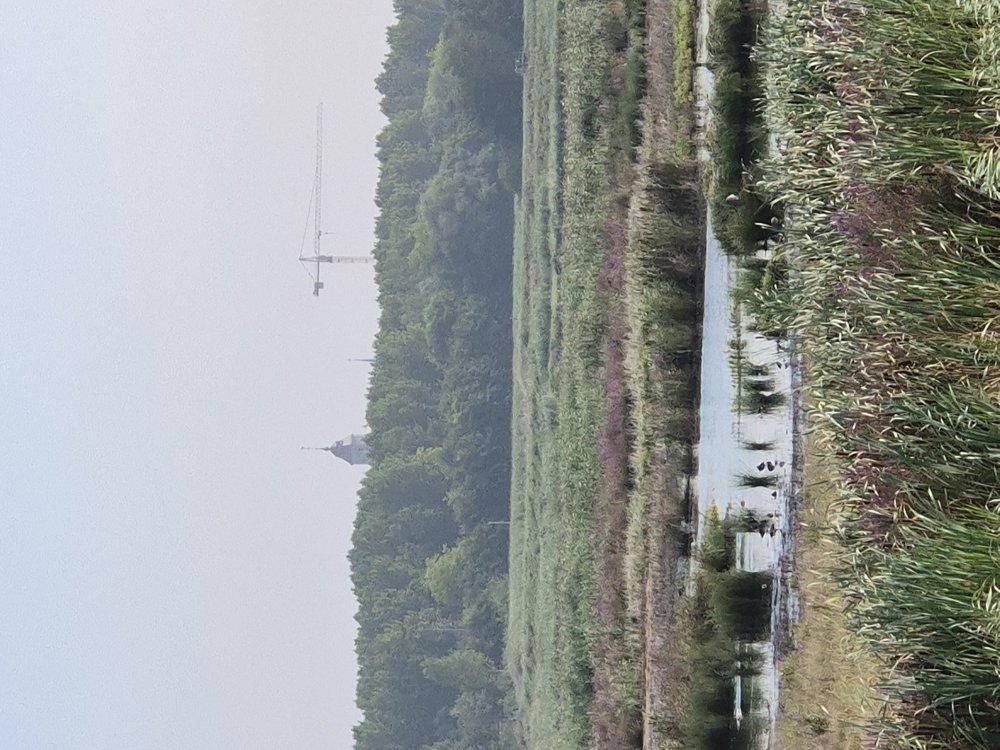
We continue our journey towards the Kempen and encounter a lot of water. In Oelegem, we cross the Albert Canal.
Past Oelegem, we cycle through many forests (Zoerselbos), castle domains, and the nature reserve (valley of the Willeborrebeek). So much beautiful nature! In Viersel, we cross the Albert Canal again and find ourselves less in the woods.
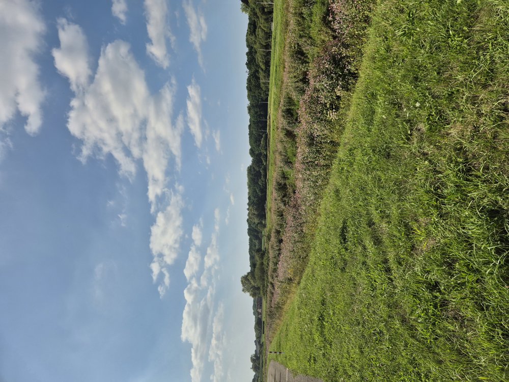
We then cycle along the Kleine and Grote Nete that meander through the beautiful landscape with many flower-lined banks. We cycle through Nijlen and along the Molenbos and the Merode forests. Beautiful, nature-rich cycling route!
automatic translation
 nodes to follow
0 km
3.1 km
3.2 km
3.3 km
4.5 km
6.6 km
11.2 km
12.7 km
13.5 km
13.6 km
13.7 km
15.2 km
17.4 km
17.7 km
20.1 km
22 km
23.2 km
24.5 km
25 km
27.3 km
27.4 km
28.5 km
28.5 km
29.3 km
30.3 km
31.7 km
34.6 km
36 km
36.6 km
40.4 km
41.4 km
42.8 km
45.1 km
46 km
47.7 km
48.5 km
49.1 km
49.2 km
49.8 km
50.2 km
51 km
51 km
53.8 km
55 km
57.2 km
57.7 km
61.9 km
63.8 km
66.9 km
70.1 km
72.2 km
73.7 km
73.8 km
74 km
76.4 km
76.4 km
81.2 km
82.5 km
88.4 km
91.1 km


 Upgrade to Premium Plus
