 Biking
 Login
Login
 More
More
 EN
EN
 Premium
Cycling along provincial domains in the Kempen : Provincial Green Domain Hertberg
automatic translation
102.3 km • 2230 Herselt
 official route
16.8128 2 2.8/5
 Addresse starting point (approximate)
Provinciaal Groendomein Hertberg Diestsebaan 28 a
 signage
The route is fully signposted with nodes.
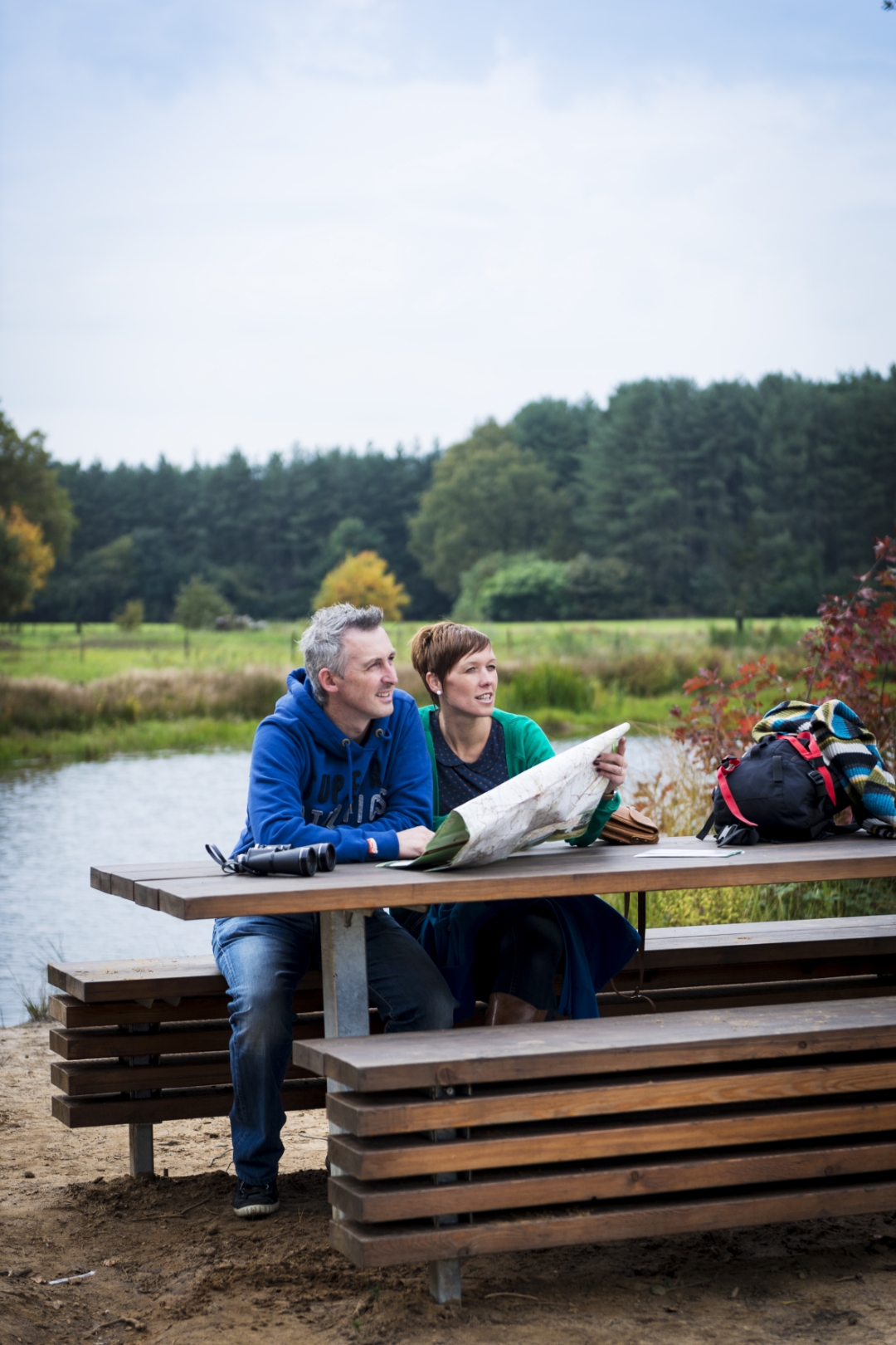
 Description
The Provincial Green Estate is bathed in a princely atmosphere. Until 2004, Hertberg was part of the vast properties of the Prince de Merode.
Hertberg is an endless seeming area of forest and nature, located in a region where three provinces meet. In addition to being a source of pleasure and relaxation for its many users, the natural domain is also a haven of peace and tranquility for its natural inhabitants.
Cycling along the 4 green areas in the Kempen
The Province of Antwerp has 4 beautiful green areas in the Kempen: Prinsenpark (Retie), De Averegten (Heist-op-den-Berg), Hoge Mouw (Kasterlee) and Hertberg (Herselt). Each domain has its own uniqueness of nature, special landscapes, hiking trails, bicycle departure points, ....
For the cyclist who likes a challenge, there is now a route out of no less than 95 km between these 4 domains!
automatic translation
 nodes to follow
0 km
0.2 km
4.4 km
4.9 km
5.6 km
5.7 km
7.4 km
11 km
12.8 km
15.2 km
16.5 km
17.2 km
18.1 km
20.5 km
21.4 km
24.2 km
27.3 km
29.9 km
29.9 km
30.1 km
32.9 km
34.2 km
36.2 km
38.6 km
39.6 km
40.9 km
41.2 km
42.7 km
44 km
44.1 km
45.9 km
48.4 km
51.3 km
52.9 km
54.7 km
57.9 km
60.2 km
62 km
63 km
63.1 km
63.1 km
63.4 km
66.2 km
66.7 km
71.5 km
75.3 km
76 km
80.6 km
81.5 km
82.6 km
87 km
91.1 km
92.1 km
92.1 km
98.2 km
100.5 km
102.3 km
Thursday, March 5, 2026 by T.R.Nice flat route, but with some unpaved sections, so best to ride during a dry period.
automatic translation
Saturday, August 9, 2025 by Alex Leendersworthless. typed in junctions, a route from hotel - then says : don't know route. Bummer!
automatic translation
Thursday, September 11, 2025 by Routedokter AntwerpenDear Alex, can you give more clarification please ? You can use the app where the GPX automatically recognizes your location ? The signs with nodes are indeed on terrain and you can also just follow them using the map available in pdf. With cycling kind regards, Routedokter province Antwerp
automatic translation


 Upgrade to Premium Plus
