 Biking
 Login
Login
 More
More
 EN
EN
 Premium
From nobility to bourgeoisie
automatic translation
46 km • Brasschaat
9.11612 0 0/5
route offered by
Toerisme Provincie Antwerpen
 Addresse starting point (approximate)
Gemeentepark Brasschaat, ter hoogte van Hemelhoeve
 signage
The route is fully signposted with nodes.
 Description
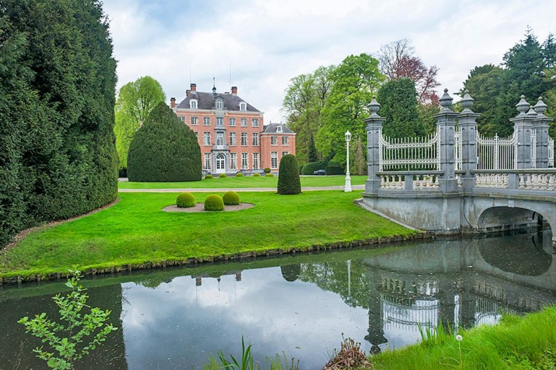
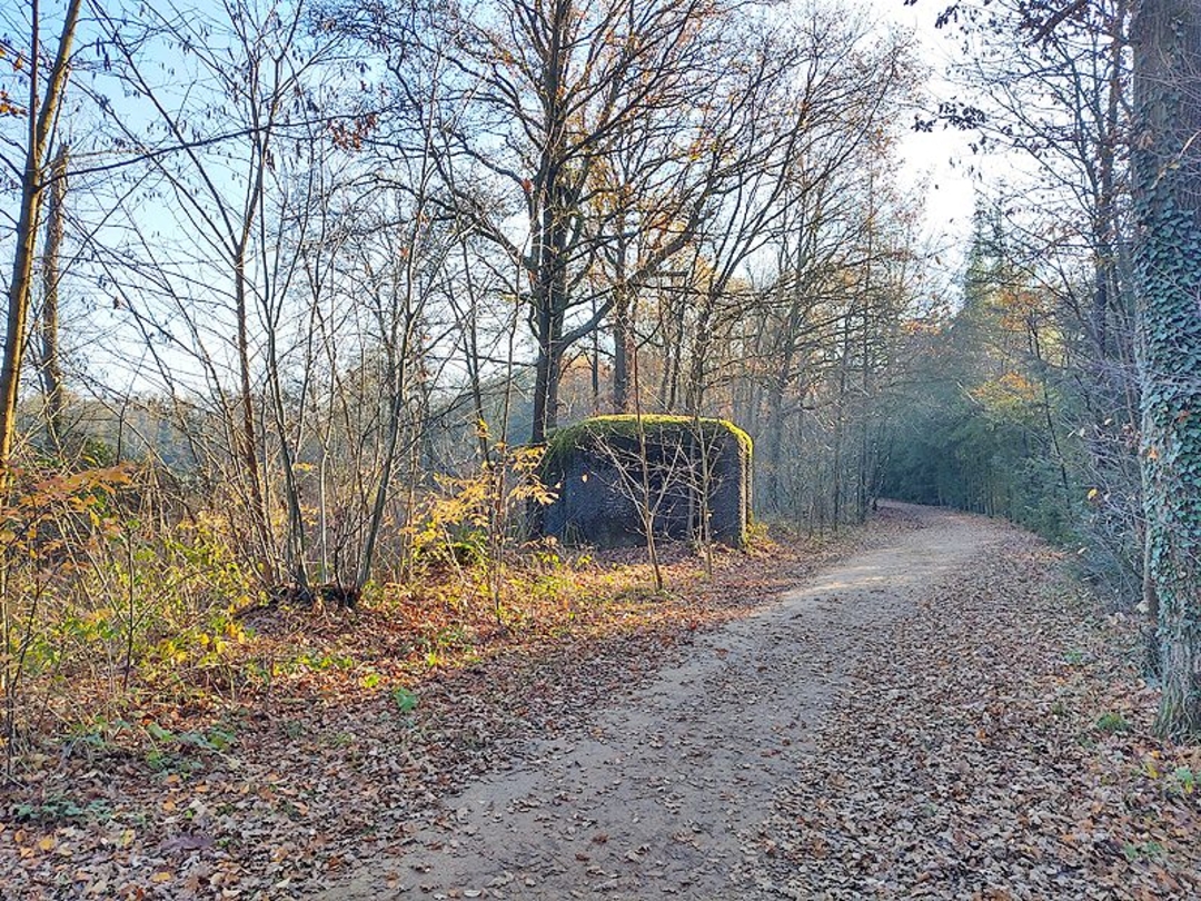
This time we meander through a region full of castles and villas. We find the beautiful parks and castle estates. Even the military heritage - fortress, entrenchment and bunkers! - looks invitingly green.
Location: Brasschaat, Brecht, Schilde, Ranst, Schoten and Wijnegem.
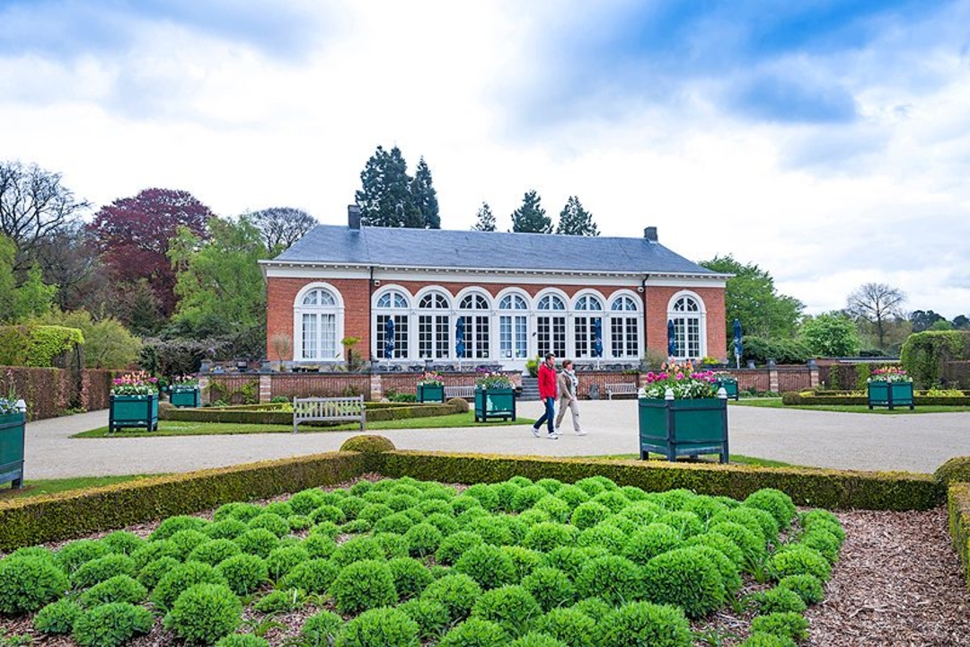
Highlights: Municipal park and Castle Brasschaat, De Inslag, Antitankgracht, Castle 's-Gravenwezel, Schans Schilde, Fort van Oelegem, Provincial Green Estate Vrieselhof, Schildehof, Municipal Park Schoten, Park Vordenstein and Peerdsbos
Highly recommended: explore Park Vordenstein, in the international top ten Green Flag Award parks!
automatic translation
 nodes to follow
0 km
0.3 km
2.5 km
5.6 km
8.8 km
9.2 km
11.8 km
11.9 km
14.4 km
16.1 km
17.3 km
18.4 km
18.4 km
19.4 km
20.6 km
21.7 km
23.7 km
25.4 km
28.2 km
30.7 km
32.4 km
34.9 km
36.4 km
37 km
39.9 km
44.7 km
45.7 km
46 km


 Upgrade to Premium Plus
