 Biking
 Login
Login
 More
More
 EN
EN
 Premium
Along the Semois river
automatic translation
144 km • 6830 Bouillon
 official route
1.2233 0 0/5
 Addresse starting point (approximate)
Starting point : Pont de Cordemoy - Parking : Rue de la Poulie
 signage
The route is fully signposted with nodes.
 Description
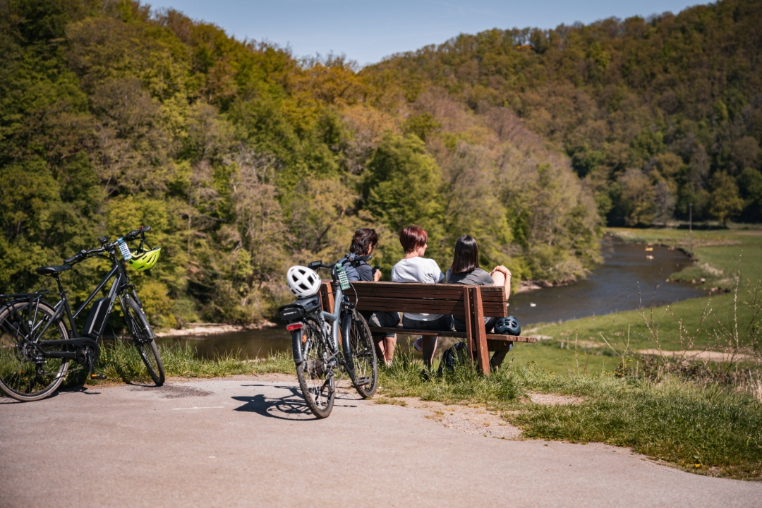
The Au fil de la Semois point-node circuit will appeal to sports enthusiasts with a passion for heritage and nature. Starting in Bouillon, this 144 km route invites you to explore the treasures of the province of Luxembourg. Among the must-sees are the Château Fort de Bouillon, the ruins of the medieval Château d'Herbeumont, the Conques viaduct, Cordemois Abbey, the Rossignol Memorial Centre, Orval Abbey, Chassepierre, classified as one of the Most Beautiful Villages in Wallonia, as well as the Épioux nature reserve and the Gallo-Roman site of Chameleux. An adventure rich in discovery awaits you!
automatic translation
 nodes to follow
0 km
3.7 km
6.8 km
7.6 km
8.6 km
13.1 km
16.5 km
24.3 km
24.7 km
25.3 km
25.7 km
29 km
35.4 km
38 km
43.3 km
44.8 km
47.1 km
48.3 km
50.3 km
50.9 km
51.8 km
51.8 km
54.9 km
54.9 km
57.9 km
60.6 km
62.7 km
69 km
69.2 km
71.7 km
73.7 km
82.4 km
83.2 km
85.3 km
87.8 km
89.8 km
98.4 km
103.3 km
111.9 km
112.3 km
114.3 km
116.3 km
116.5 km
119.3 km
126 km
136.4 km
143.5 km
143.6 km
144 km


 Upgrade to Premium Plus
