 Biking
 Login
Login
 More
More
 EN
EN
 Premium
Passing through the Plateau des Tailles
automatic translation
106 km • 6960 Manhay
 official route
6660 0 0/5
 Addresse starting point (approximate)
Starting point and parking : Rue Alfonse Poncelet 5-8
 signage
The route is fully signposted with nodes.
 Description
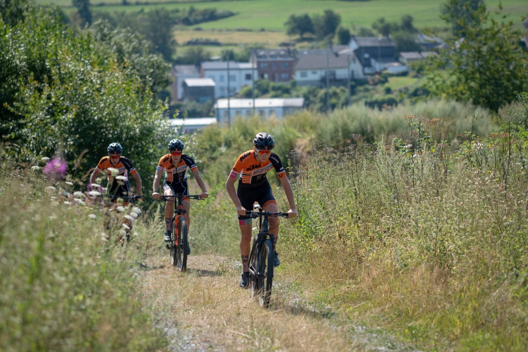
The En passant par le Plateau des Tailles point-node circuit invites you to immerse yourself in the Ardennes massif, with a long loop of over 100 km. You'll pass through the deep forests of the Plateau des Tailles, a veritable sanctuary of biodiversity. Along the way, you'll discover the barefoot trail at Ferme de la Planche in Montleban, the Cherapont lake where you can swim in summer, and Houtopia, a recreational center stimulating all five senses. And don't miss the Chlorophylle park in Dochamps, before ending your tour with a well-deserved break at the Oster brewery.
automatic translation
 nodes to follow
0 km
0 km
8.5 km
9.2 km
13.3 km
18.4 km
29.7 km
32 km
34.3 km
39.4 km
39.6 km
41.7 km
45.4 km
46.9 km
53.3 km
58.4 km
60.6 km
64.8 km
76.7 km
80 km
82 km
91.9 km
96 km
100.1 km
102.1 km
105.8 km
105.8 km


 Upgrade to Premium Plus
