 Biking
 Login
Login
 More
More
 EN
EN
 Premium
La Dorsale
automatic translation
70 km • 6941 Bomal-sur-Ourthe
 official route
1.0561 0 0/5
 Addresse starting point (approximate)
Starting point : Pré Cawiai, 1 - Parking : Driaisne
 signage
The route is fully signposted with nodes.
 Description
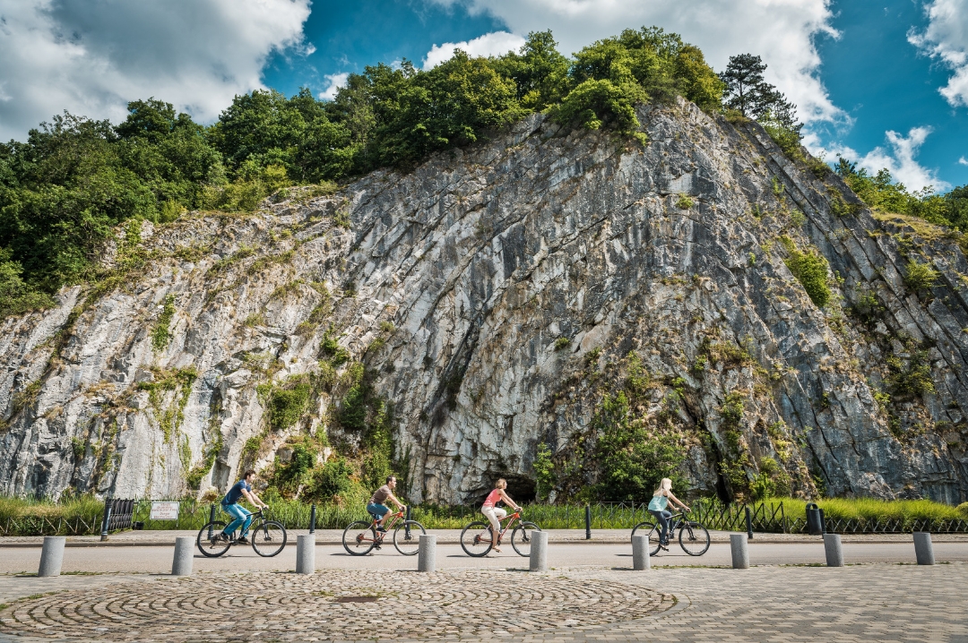
The La Dorsale point-node circuit invites you to explore the region's three RAVeLs, following the meanders of the Ourthe and Lesse rivers. The route is divided into five sections, crossing both the provinces of Luxembourg and Namur:
- Ravel along the Ourthe from Bomal to Durbuy (10.5 km)
- A l'orée du bois from Durbuy to Hotton (15 km)
- Ravel express from Hotton to Marche-en-Famenne (10 km)
- Bol d'air sur le Gerny from Marche-en-Famenne to Rochefort (17.5 km)
- Ravel champêtre from Rochefort to Houyet (18 km)
automatic translation
 nodes to follow
0 km
3.9 km
10.2 km
10.3 km
10.7 km
11.4 km
13.7 km
15.4 km
16.7 km
17.6 km
18.5 km
19.7 km
22.9 km
24.1 km
24.8 km
25.3 km
25.5 km
25.6 km
26.9 km
31.8 km
34.5 km
35.1 km
35.6 km
35.9 km
37 km
38.8 km
41.2 km
43.5 km
47.2 km
52.5 km
53.1 km
55.8 km
56.7 km
61 km
65.6 km
70.2 km


 Upgrade to Premium Plus
