 Biking
 Login
Login
 More
More
 EN
EN
 Premium
Loop in Condroz-Famenne, from stem to stern - up and down the hill
automatic translation
45.4 km • Heure (Somme-Leuze)
 official route
5092 0 0/5
 Addresse starting point (approximate)
Rue de l'Eglise 4 5377 Heure (Somme-Leuze) Belgique
 signage
The route is fully signposted with nodes.
 Description
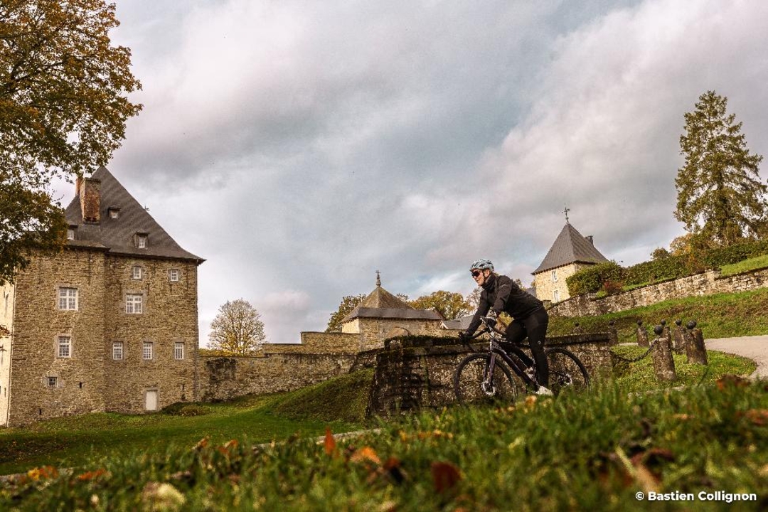
This 44.6 km loop is a concentrate of authenticity and varied landscapes, typical of Destination Condroz-Famenne.
From the village of Heure, you head towards Sinsin for an initial hilly loop, before continuing on to Nettinne, Scy, Porcheresse and Somal, through a scenery of tiges and chavées - the alternating wooded ridges and deep valleys typical of the Condroz.
The route alternates between gentle climbs, winding descents and unobstructed views of the rural Condroz countryside, typical of this hilly region.
Small hamlets, hedgerow-lined roads and forest crossings provide a varied pace and a relaxing atmosphere.
Accessible yet dynamic, this loop is perfect for a day of discovery, as a couple or with friends.
An itinerary that reveals all the natural and cultural riches of the Condroz-Famenne region.
automatic translation
 nodes to follow
0 km
0.8 km
4.6 km
5.8 km
9.5 km
9.6 km
11.4 km
21.7 km
26.1 km
29.2 km
37.5 km
41.8 km
42 km
43.5 km
45.4 km


 Upgrade to Premium Plus
