 Biking
 Login
Login
 More
More
 EN
EN
 Premium
From Baarle to Meersel-Dreef
automatic translation
47.6 km • 5111 CC Baarle-Nassau (Nederland)
 official route
2.3024 0 0/5
 Addresse starting point (approximate)
Singel 1, Visit Baarle
 signage
The route is fully signposted with nodes.
 Description
In the hamlet of Loveren (between node 92 and 80) there is a small Belgian enclave. Here stands the house with 2 house numbers: the Belgian number 2 and the Dutch number 19. The border here runs right through the front door. Around the sixteenth century, Herberg De Swaen was located here. In Baarle, the front door rule applies. The location of the front door determines in which municipality the residents are registered.
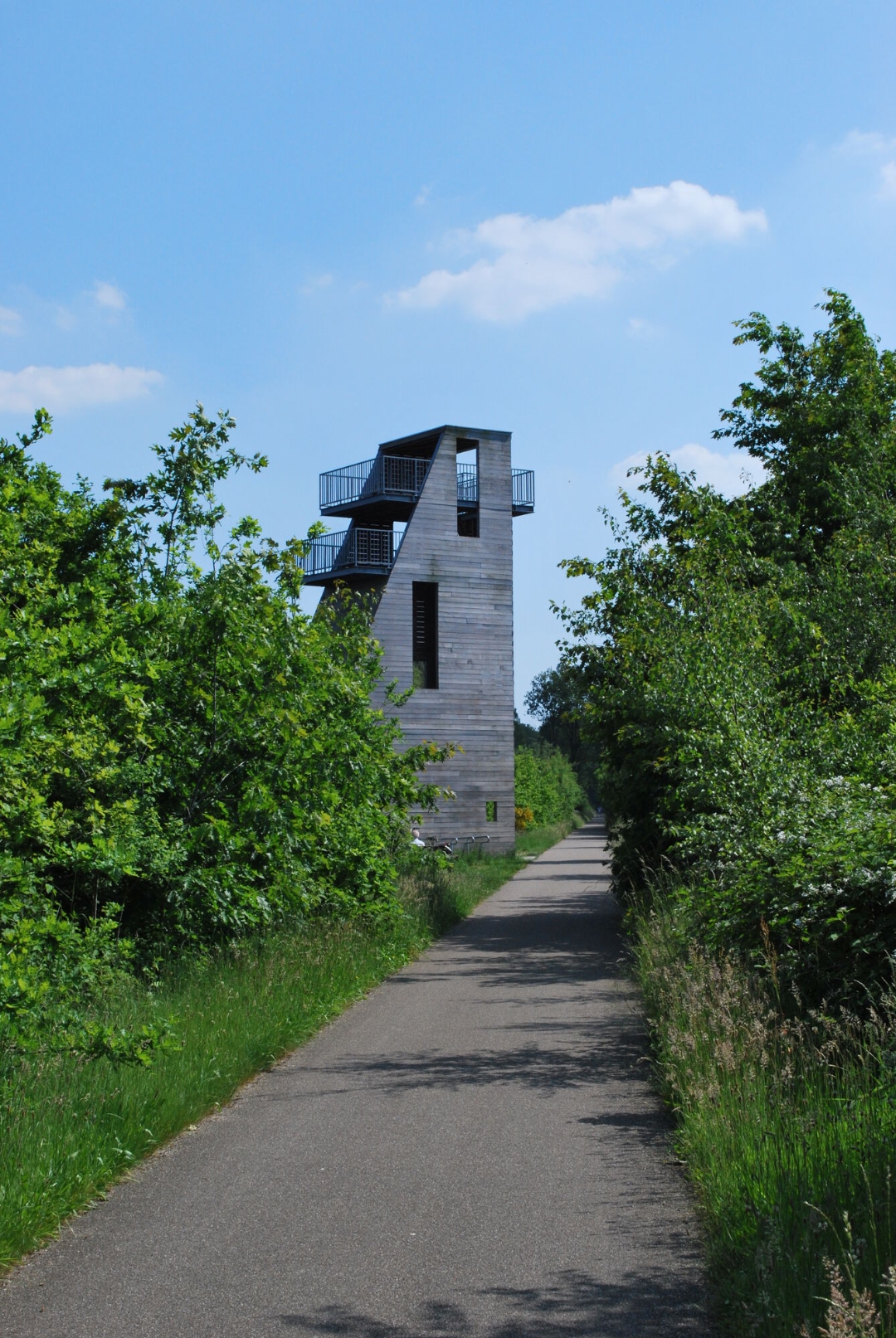
From junction 13, you cycle on a cycle path along the river Mark. At junction 31 you can turn left to visit the pilgrimage site of Meersel-Dreef. Further along the route is the Strijbeekse Heide, the Chaamse Hoenderhok and the Bels Lijntje.
automatic translation
 nodes to follow
0 km
0.2 km
0.3 km
0.3 km
2.8 km
2.8 km
4.8 km
7.1 km
8.9 km
10.6 km
13.4 km
16 km
16.3 km
17.5 km
21.7 km
23.6 km
24.3 km
25.2 km
25.2 km
26.9 km
27.9 km
28.6 km
29.2 km
31.2 km
33.2 km
34.5 km
36 km
36.6 km
37.5 km
38.7 km
42.5 km
43.4 km
46.6 km
47.3 km
47.3 km
47.3 km
47.5 km


 Upgrade to Premium Plus
