 Biking
 Login
Login
 More
More
 EN
EN
 Premium
Kempen Route Antwerp
automatic translation
211.9 km • 2000 Antwerpen
 official route
1.3551 0 0/5
211.9 km
0.0 km
0.0 km
 Addresse starting point (approximate)
Steenplein 1 (Het Steen/Visitor Center Antwerpen), t.h.v. knooppunt 19
 signage
The route is fully signposted with thematic signs (no nodes).
© © Toerisme Provincie Antwerpen
 Description
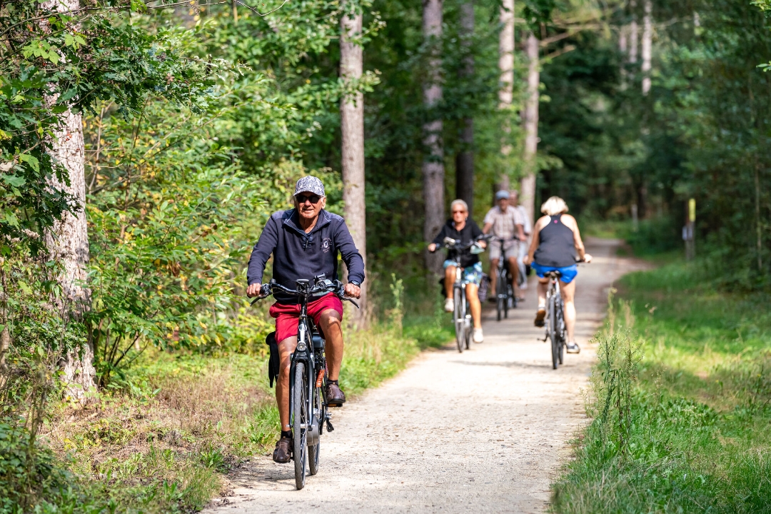
The Kempen Route connects the city of Antwerp with Terhills, the gateway to Hoge Kempen National Park. In the province of Antwerp, along the Kempen Route you can enjoy not only the Kempen heritage, but also nature: think of the Kempen Lakes, the Kempen Ridge, the valley of the Kleine Nete and De Lilse Bergen.
automatic translation
 nodes to follow
0 km
1.2 km
1.4 km
2.9 km
6.8 km
6.9 km
7.6 km
11.6 km
12.9 km
14.7 km
15.5 km
17.5 km
18.6 km
18.7 km
20.3 km
22.7 km
22.7 km
23.9 km
23.9 km
24.7 km
24.8 km
26.2 km
26.7 km
29.7 km
31 km
33.3 km
34.2 km
36.3 km
36.4 km
42 km
45.3 km
46.6 km
48.2 km
51 km
52.9 km
53.9 km
54.6 km
58.2 km
58.5 km
59.2 km
61.7 km
63.7 km
65.2 km
65.5 km
66.8 km
67.8 km
69.7 km
70.5 km
73.2 km
74.5 km
75.7 km
78.9 km
82.4 km
83.6 km
83.8 km
84.9 km
85.2 km
88.1 km
88.4 km
89.2 km
93 km
94.6 km
97.3 km
98.7 km
98.9 km
102.2 km
104.6 km
105.3 km
105.5 km
108.7 km
112.5 km
115.8 km
121.2 km
121.3 km
126.5 km
127 km
130 km
130 km
135.8 km
137.7 km
144.5 km
147 km
151.8 km
152.7 km
152.7 km
152.8 km
152.8 km
155.5 km
158.6 km
159.7 km
166 km
167.5 km
168.5 km
171 km
171 km
171 km
171.1 km
171.9 km
177.3 km
178.6 km
182.7 km
183.3 km
185.8 km
187.9 km
188.3 km
188.5 km
191.2 km
191.3 km
195.5 km
199 km
202.6 km
202.7 km
202.8 km
202.9 km
207.5 km
209.6 km
211.9 km


 Upgrade to Premium Plus
