Loading...

To the Brabant Wall

automatic translation

55.8 km • 2920 Kalmthout

Icon official route official route

3.4596 1 5/5

55.8 km 0.0 km 0.0 km

route offered by

Badge of official route

more info

Icon starting point Addresse starting point (approximate)

Putsesteenweg 131 (Visit Kalmthout)

Icon type signage of route signage

The route is fully signposted with nodes.

5m 5m 5m 5m
© © Toerisme Provincie Antwerpen

Icon description route Description

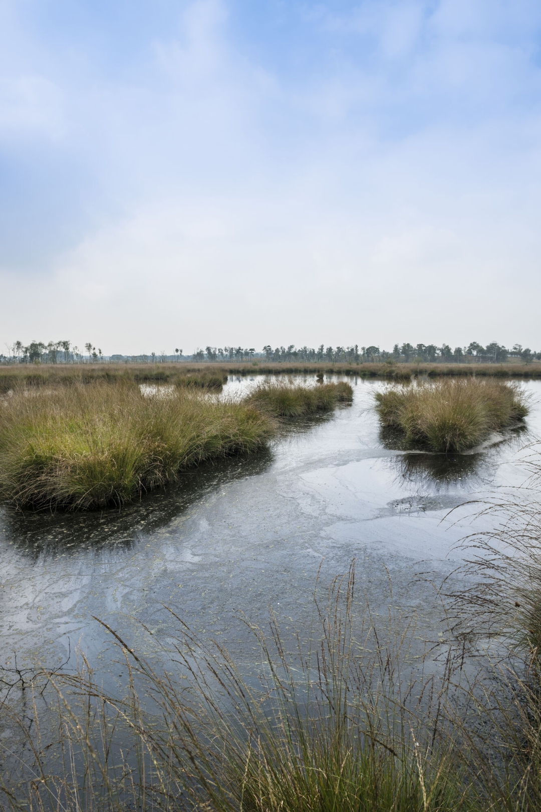
This bike route takes you through the striking landscape of the Brabantse Wal, on the border of West Brabant, where it kisses Zeeland and Flanders. You start along the beautiful Verbindingsstraat straight through the Kalmthoutse Heide, after which you soon cross the border to rural Wouw.

The nature gates 'Wouwse Plantage' and 'Bergen op Zoom' welcome you through a green oasis with vast forests, purple moors and vast polder landscapes. After the flat Polderland, the bike ride turns into a gently rolling landscape, where Woensdrecht and Ossendrecht tower above the surroundings and where you pass the Port of Antwerp at a stone's throw.

Grease your legs already... and... enjoy the wonderful variety of these unique landscapes.

automatic translation

Icon nodes to follow nodes to follow

Image node 25
0 km
Image node 80
0.7 km
Image node 89
5.8 km
Image node 24
6.3 km
Image node TP
10 km
Image node 81
10.5 km
Image node 1
13.8 km
Image node 1
13.8 km
Image node 84
14.4 km
Image node 84
14.5 km
Image node 17
15.8 km
Image node 18
19.1 km
Image node 31
21.6 km
Image node TP
23.2 km
Image node 54
23.3 km
Image node 54
23.4 km
Image node TP
23.4 km
Image node 78
23.9 km
Image node 32
26.7 km
Image node 32
26.7 km
Image node 21
28.8 km
Image node 21
28.9 km
Image node 52
29.4 km
Image node 25
30.6 km
Image node 22
31 km
Image node 22
31 km
Image node 22
31 km
Image node 34
34.3 km
Image node 23
35.2 km
Image node 51
35.9 km
Image node 24
39.6 km
Image node 56
41.4 km
Image node 56
41.4 km
Image node 56
41.4 km
Image node 83
45.1 km
Image node 2
47.1 km
Image node 81
50.9 km
Image node 25
55.8 km
This route has 1 review(s).
Rate route!

Monday, August 18, 2025 by K.V.Super nice ride through woods and heathland the first part. Afterwards again totally different landscape through the polders and typical Dutch villages. Highly recommended and with many cafes along the way.
automatic translation

Which POI do you want to show on the map?

Experimental cycling network
Unsigned icon

The route you have chosen runs (partly) along an experimental virtual cycling node network (the blue-coloured nodes and sections on the map).

You must be logged in to plan routes here.

Experimental cycling network
Unsigned icon

The route you have chosen runs (partly) along an experimental virtual cycling node network (the blue-coloured nodes and sections on the map).

These routes are not controlled in the field. Before you start cycling here, take a minute to read what an experimental cycling node network is and what rules you should follow when cycling here.