 Biking
 Login
Login
 More
More
 EN
EN
 Premium
Cycling in and around the Shooting Fields
automatic translation
51.9 km • 2920 Kalmthout
1.8793 0 0/5
route offered by
Toerisme Provincie Antwerpen
 Addresse starting point (approximate)
Putsesteenweg 131 (Visit Kalmthout)
 signage
The route is fully signposted with nodes.
 Description
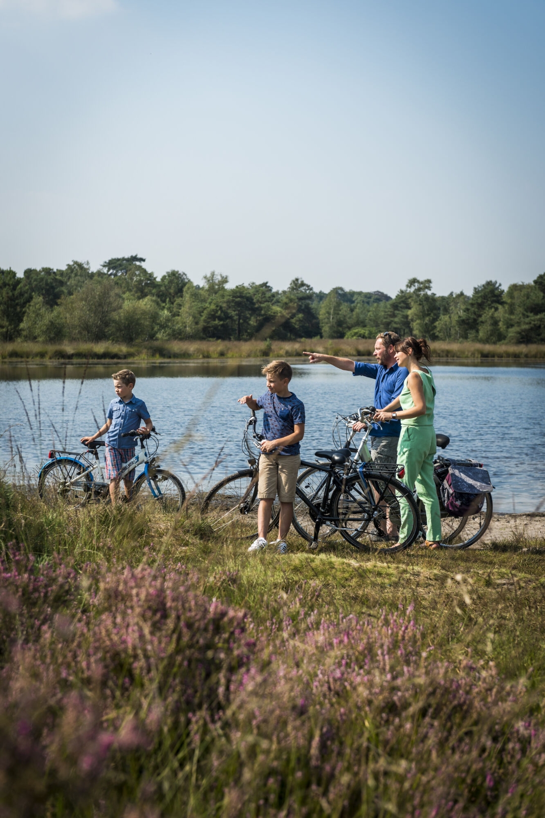
The nature areas of the Klein and Groot Schietveld are mainly known as military domain, but the untouched nature there is very similar to that of the Kalmthoutse Heide. With, among other things: heathland, pine, oak and birch forests, meadows and fens, the Schietveld are valuable nature reserves north of Antwerp. You can visit the Klein Schietveld while cycling and walking, while this cycle route also takes you around the Groot Schietveld.
The cycling here is wonderful and the route takes you to hidden places such as 'Franciscanesses' in Gooreind and the beautiful green connection 'Het Beersgat' in Wuustwezel.
Next to the Groot Schietveld you pass varied meadows and arable land of rural Overbroek, from there you continue cycling between the trees to the Klein Schietveld via the historic Maria-ter-Heide district.
The military presence is mainly noticeable in and around the Brasschaat airfield, where you cycle past the site 'Gunfire' and 'Den Toren', a former lookout post for air traffic controllers, which now houses a mini-museum. Definitely worth dismounting!
Don't forget to take a terrace at 'Perron Noord', so when the weather is nice you can spot the sports planes flying in and out.
automatic translation
 nodes to follow
0 km
1.7 km
6 km
6.3 km
10.2 km
11.8 km
16.5 km
17.9 km
18.3 km
20.8 km
26.2 km
31.7 km
36.2 km
38.3 km
40.9 km
41.8 km
43.9 km
45.1 km
46.7 km
51.7 km


 Upgrade to Premium Plus
