 Biking
 Login
Login
 More
More
 EN
EN
 Premium
Along the Sambre and Meuse, via Namur over the Ardennes
automatic translation
66.5 km • Jemeppe-sur-Sambre
5.0156 1 5/5

 Addresse starting point (approximate)
Rue Du Cimetière 124, 5190 Jemeppe, BE
 signage
The route is fully signposted with nodes.
 Description
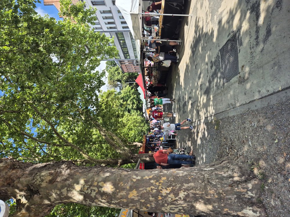
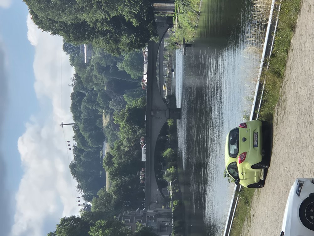
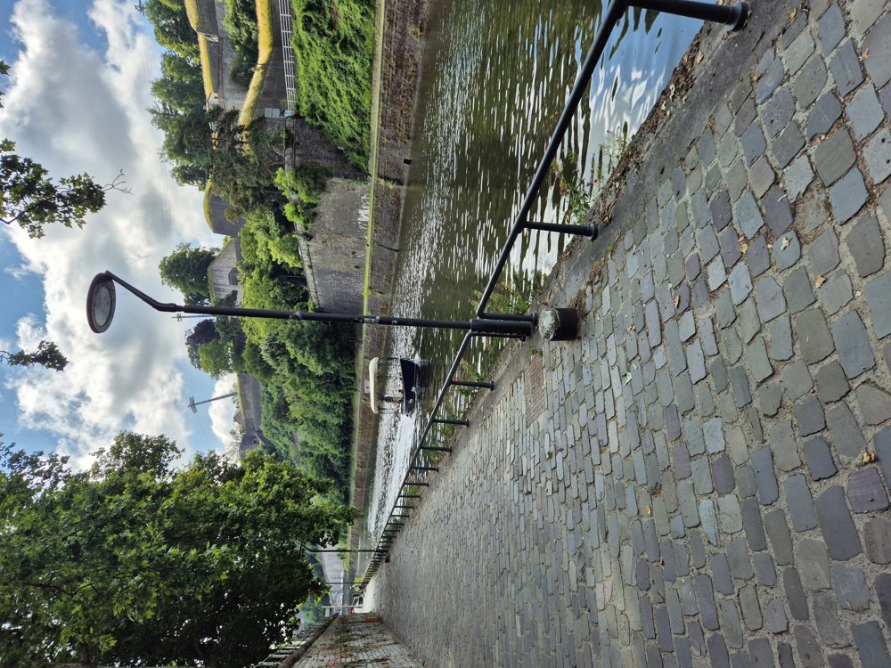
The first part of the route I ride along the Sambre, a straightened river. In Namur, everything changes, there is a lot of atmosphere. Along the banks, there is a large, lively market every Saturday. From the banks, you look out at the citadel of Namur, chairlifts, boats, and so on. I will come back here.
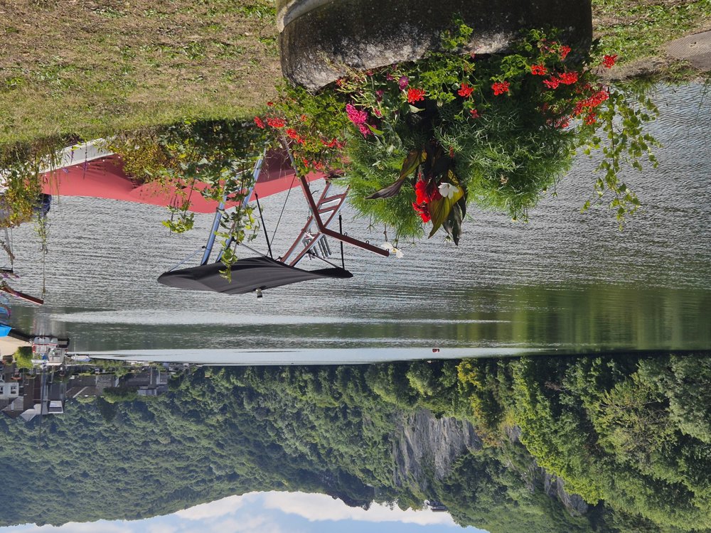
I continue cycling along the Meuse, which follows a much more natural course towards Dinant. I enjoy very beautiful views here, feel the Ardennes atmosphere, and regularly pass a brasserie by the water. Gradually, I prepare myself to leave the river and tackle the Ardennes hills or mountains. In the meantime, I have somewhat shortened my route.
The first part runs through an Ardennes forest, and the architectural style of the houses is also really Ardennes. From Lesve, it is more open countryside again, with wheat fields and distant views. Since the mountain part wasn’t very long, it was feasible to cycle here.
automatic translation
 nodes to follow
0 km
2.9 km
6.5 km
7.7 km
11.8 km
14 km
14.1 km
14.2 km
16.3 km
18 km
25 km
26.4 km
26.8 km
27.9 km
28.4 km
30.8 km
35.6 km
39.9 km
40.1 km
43 km
43.2 km
46.5 km
47.8 km
52.4 km
53.1 km
56.4 km
59.7 km
62.8 km
66.5 km
Monday, June 22, 2026 by Y.G.A beautiful, peaceful start along the Sambre River to Namur: flat, relaxing, and with a constant view of the water. From Namur to Profondeville, it’s very scenic with stunning views along the Meuse River. After that, a few manageable climbs and some fun, long descents. A varied and accessible ride. Had a great afternoon—10/10!
automatic translation


 Upgrade to Premium Plus
