 Biking
 Login
Login
 More
More
 EN
EN
 Premium
Through the Reichswald to the Mookerplas
automatic translation
59.8 km • Mook en Middelaar
6.2748 0 0/5

 Addresse starting point (approximate)
Oosterkanaaldijk, 6582 AD Heumen, NL
 signage
The route is fully signposted with nodes.
 Description
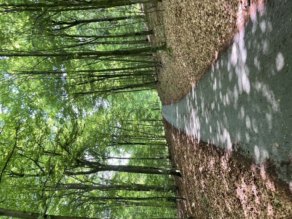
This bike tour leads along the banks of the Maas, through Mook and the nature of the Mookerheide, the Groesbeek Forest, and the Wolfsberg to Groesbeek.
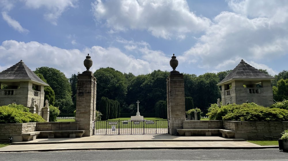
Upon leaving the village, we head towards Germany and cross the border between junctions 80 and 79. From junction 55, we make a loop through the vast Reichswald, with an en route passage by the War Cemetery.
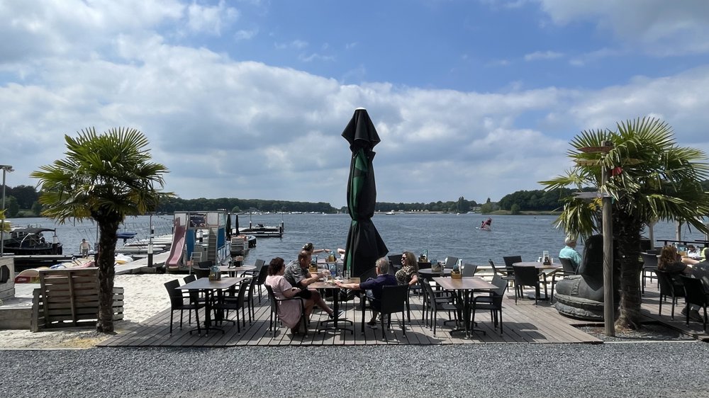
Then, we follow an unpaved path on the Dutch-German border along the sand extraction site De Banen, where there are several picnic areas. The route continues towards the Mookerplas, an ideal spot for a terrace stop.
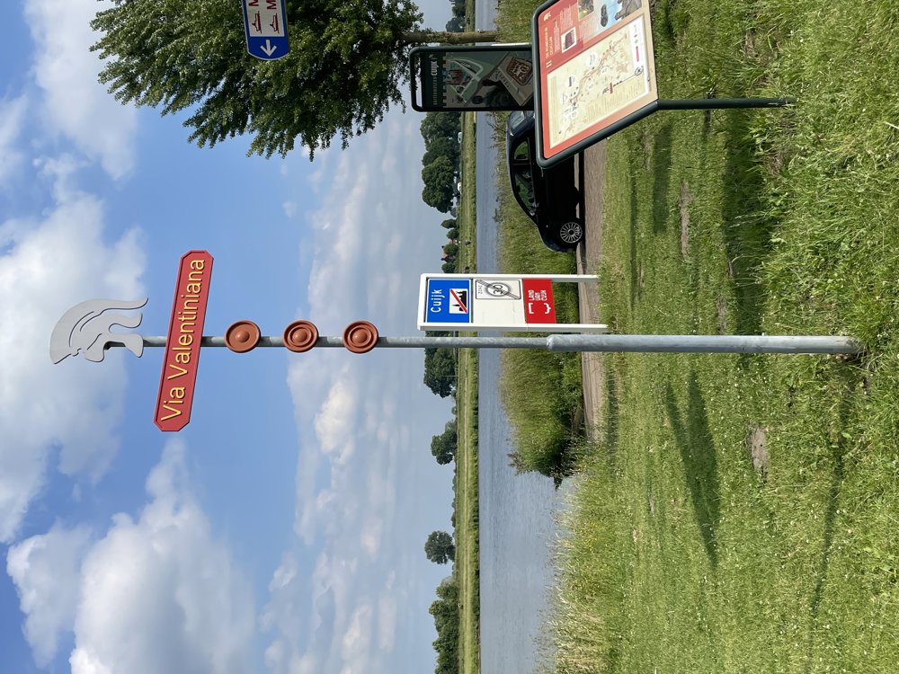
Next, we ride to the Maas and take the ferry to Cuijk. Along the river, we follow a bike path that is part of the Via Valentiniana, the route of an ancient Roman road. In Katwijk, we visit the Lourdes grotto, after which we cross the Maas again via the cycle bridge and return to the starting point.
automatic translation
 nodes to follow
0 km
0.5 km
2.4 km
5.4 km
6.6 km
6.6 km
7.2 km
7.8 km
8.1 km
10.2 km
11.3 km
11.5 km
12.2 km
12.7 km
12.7 km
12.7 km
13.5 km
13.5 km
13.5 km
14.1 km
14.1 km
16 km
16.1 km
18 km
20.5 km
22.9 km
24 km
27.7 km
30.2 km
31.5 km
31.5 km
33.1 km
37 km
37.7 km
42 km
42.3 km
46 km
48.9 km
49.9 km
50.3 km
51.6 km
52.3 km
55.2 km
55.5 km
58.4 km
59.2 km
59.3 km
59.8 km


 Upgrade to Premium Plus
