Loading...

From the Houtland to the Polders and the Westhoek

automatic translation

85.1 km • Torhout

7.1405 1 5/5

85.1 km 0.0 km 0.0 km

route offered by

Sylvie Vandezande

Icon starting point Addresse starting point (approximate)

Veldstraat 13, 8820 Torhout, BE

Icon type signage of route signage

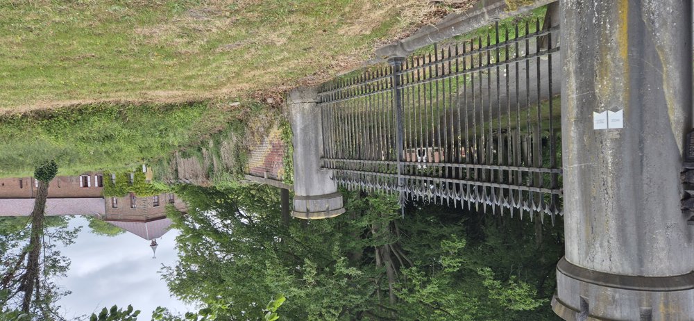
The route is fully signposted with nodes.

5m 5m 5m 5m
Atmosphere image 1 of route From the Houtland to the Polders and the Westhoek Atmosphere image 2 of route From the Houtland to the Polders and the Westhoek Atmosphere image 3 of route From the Houtland to the Polders and the Westhoek
© Sylvie Vandezande

Icon description route Description

With this route, we felt like we were cycling through many different regions.

We started from the castle of Wijnendale. At the beginning of our journey, we went slightly uphill along the Ruidenberg and the Koekelareberg. The result was a beautiful view around the municipality of Ichtegem.

On the way, we passed by the Lange Max Museum. We rode through the center of Eernegem, along the border municipalities of Oudenburg. After that, we mainly cycled through the polders, over the dikes: the Bourgognepad and along gravel paths between the fields where we could see very far.

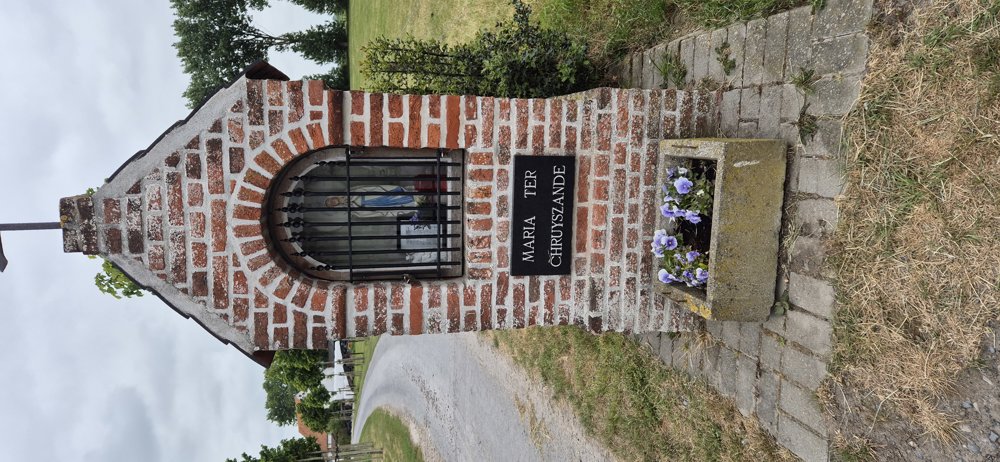
On the way to Keiem, we saw the Yser Tower in the distance and passed in Keiem the chicken museum, worth a visit with children, and a cheese farm. We rode through Vladslo, which reminds me of the annual flea market in mid-September, also worth a visit!

We ended with a very small climb along the Ruidenberg, the horse meadows in Markhove, and a gravel path towards Wijnendale.

automatic translation

Icon nodes to follow nodes to follow

Image node 71
0 km
Image node 85
0.9 km
Image node 75
2.9 km
Image node 32
5.4 km
Image node 92
6 km
Image node 31
7.2 km
Image node 73
8.9 km
Image node 73
8.9 km
Image node 73
8.9 km
Image node 79
10.6 km
Image node 9
13.8 km
Image node 30
16.4 km
Image node 64
20.5 km
Image node 32
21.9 km
Image node 1
23 km
Image node 1
23 km
Image node 88
25.6 km
Image node 18
25.9 km
Image node 68
27.4 km
Image node 42
27.9 km
Image node 34
29.3 km
Image node 49
30.6 km
Image node 36
32.3 km
Image node 24
36.3 km
Image node 76
37.7 km
Image node 22
41.8 km
Image node 52
46.8 km
Image node 53
48.4 km
Image node 26
51 km
Image node 72
51.6 km
Image node 62
55.6 km
Image node 12
57 km
Image node 78
59.7 km
Image node 27
61 km
Image node 7
62 km
Image node 28
64.3 km
Image node 57
65.3 km
Image node 14
66.9 km
Image node 58
68.5 km
Image node 98
68.7 km
Image node 66
71.6 km
Image node 22
73.2 km
Image node 82
74.2 km
Image node 83
74.4 km
Image node 97
76.2 km
Image node 35
79.9 km
Image node 36
80.2 km
Image node 71
85.1 km
This route has 1 review(s).
Rate route!

Sunday, August 17, 2025 by J.N.Beautiful route. Only part between knp 9 and knp 30 (main road to Eernegem) is a bit less. An instructive exploration of the beautiful region. Deserves 5 stars.
automatic translation

Which POI do you want to show on the map?

Experimental cycling network
Unsigned icon

The route you have chosen runs (partly) along an experimental virtual cycling node network (the blue-coloured nodes and sections on the map).

You must be logged in to plan routes here.

Experimental cycling network
Unsigned icon

The route you have chosen runs (partly) along an experimental virtual cycling node network (the blue-coloured nodes and sections on the map).

These routes are not controlled in the field. Before you start cycling here, take a minute to read what an experimental cycling node network is and what rules you should follow when cycling here.