 Biking
 Login
Login
 More
More
 EN
EN
 Premium
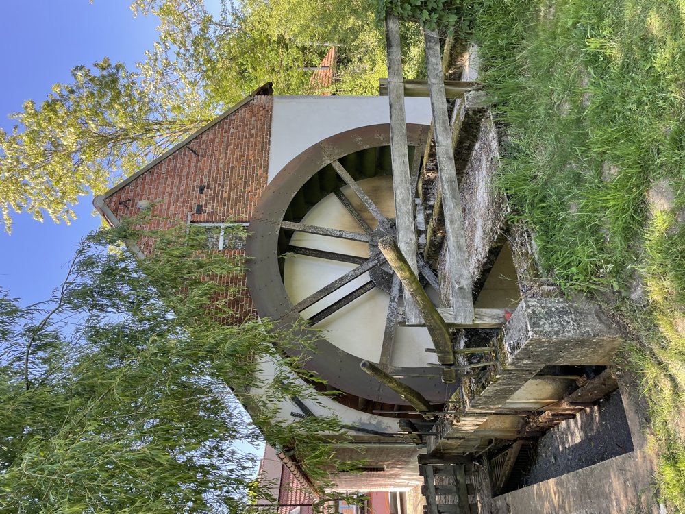
Round trip to Weert from the Luysmolen
automatic translation
61.7 km • Bocholt
6.42611 0 0/5

 Addresse starting point (approximate)
Luysenweg, 3950 Bocholt, BE
 signage
The route is partially signposted with nodes. Use a GPS device or our app to follow the route.
 Description
From the Luysmolen, we cycle towards junction 87.
After a short passage along the border, the route continues to Molenbeersel, where we pass the Zorgvlietmolen and the Keijersmolen. Through quiet country roads and unpaved paths, we reach the Swartbroek nature reserve.
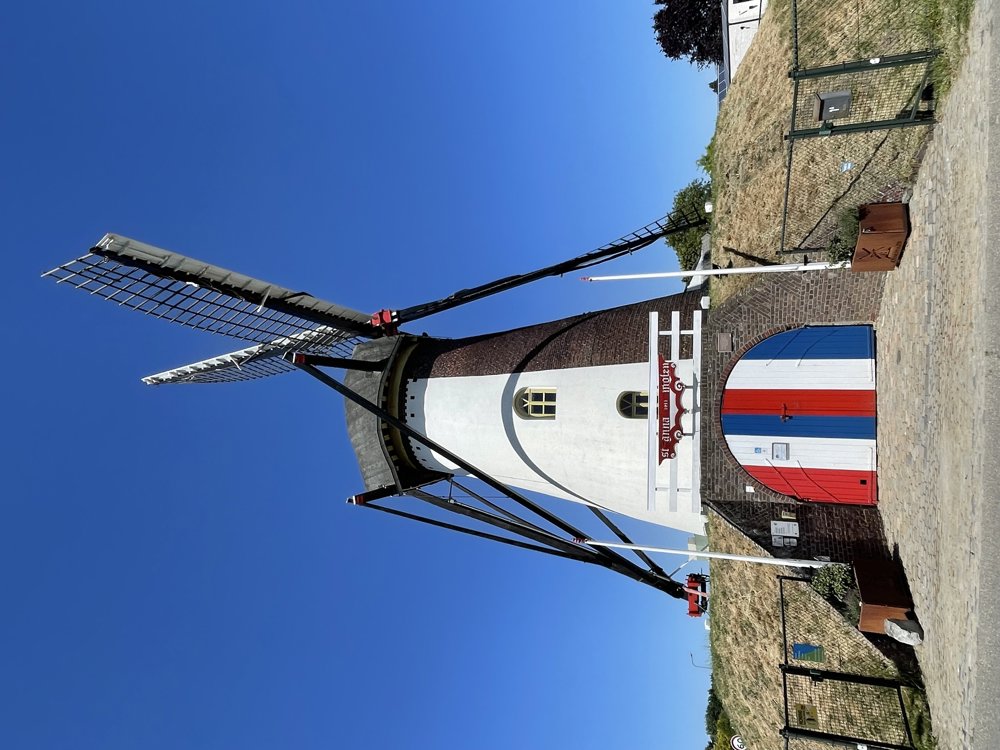
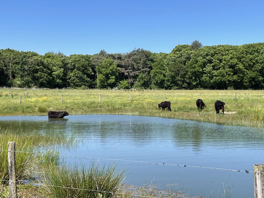
We then follow a beautiful cycle path through the marshland of De Krang, where Galloway cattle are often seen in and around the ponds. Via the Sint Annamolen, we ride towards the center of Weert and follow the Emmasingel to Nijenborgh Castle.
On the Market, there is an opportunity to stop at a terrace, after which we continue our route via KP41 and KP40. After a stretch over the Kazernelaan, we turn left and cycle on a gravel path through the recreational area De IJzeren Man and along the Blauwe Meertje to the Zuid-Willemsvaart.
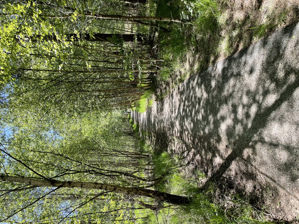
We follow this until the Laurabossen, which we cross via a beautiful forest path. Through a final passage along the Stramprooierheide, we reach KP87 again and return to the Luysmolen, where the journey ends.
automatic translation
 nodes to follow
0 km
2.5 km
5.2 km
8 km
11.5 km
14.3 km
17.1 km
18.5 km
22.3 km
22.8 km
26.8 km
28.3 km
33.3 km
35.2 km
36.4 km
37.3 km
38.6 km
38.8 km
39.2 km
40 km

40 km
40.1 km
40.1 km
40.2 km
40.3 km
40.3 km
40.3 km
40.4 km
40.5 km
40.5 km
40.5 km
40.6 km
41.1 km
41.3 km
43.2 km
43.3 km
45.3 km
49.4 km
56.7 km
58.5 km
59.1 km

61.7 km


 Upgrade to Premium Plus
