 Biking
 Login
Login
 More
More
 EN
EN
 Premium
Along Mol lakes and canals
automatic translation
55.8 km • Dessel
 official route
10.02918 1 4/5

 Addresse starting point (approximate)
Nieuwedijk, 2480 Dessel, BE
 signage
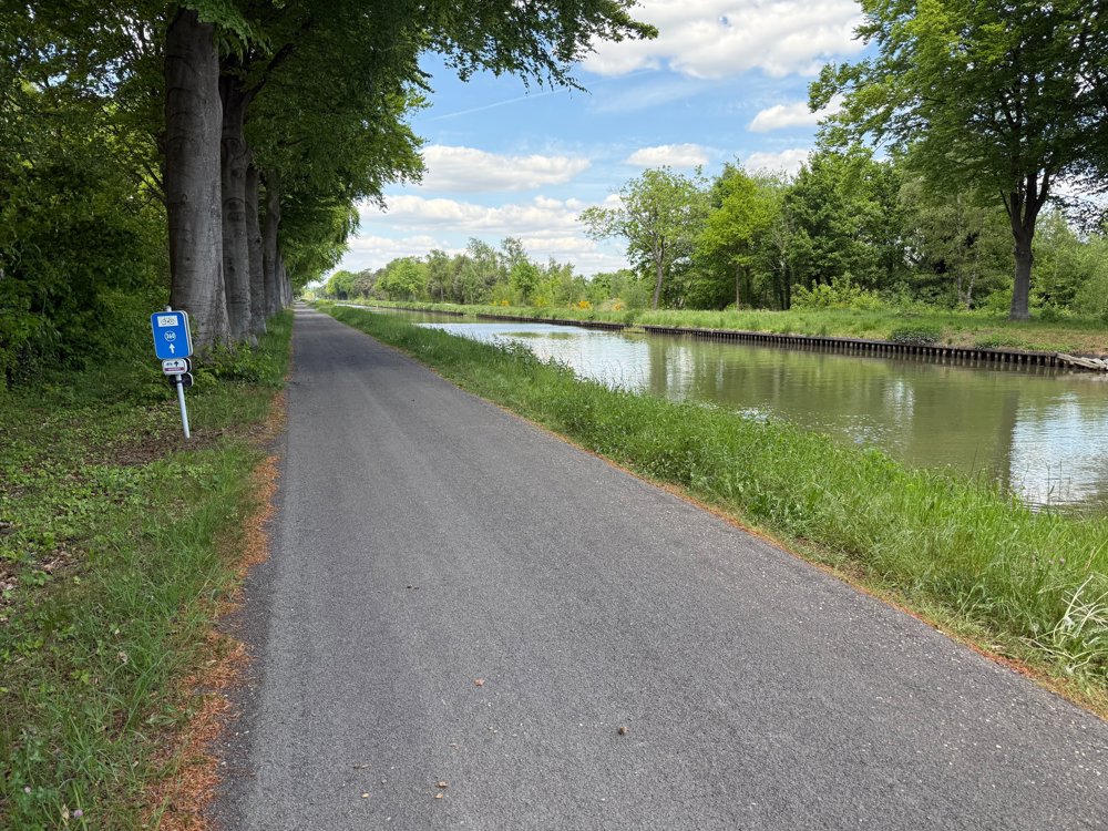
The route is fully signposted with nodes.

 Description
This watery cycling tour winds through the border region between the Antwerp and Limburg Kempen.
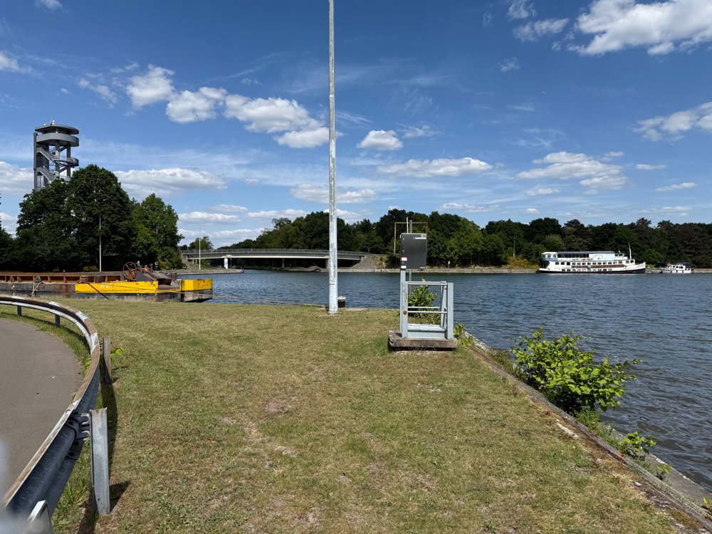
You start the route at the Sas4 Tower in Dessel, where three canals intersect, a unique phenomenon in Europe. It is definitely worth climbing this 37-meter-high tower to enjoy a beautiful panoramic view of this green region.
The first part runs along the Dessel-Kwaadmechelen Canal, after which you reach the center of Meerhout. Here you will find enough catering options to quench your thirst and satisfy your hunger. The Visitor Center Grote Netewoud at the Watermill in Meerhout is especially recommended. Along quiet, green roads, you cycle past Pakawi Park in Olmen.
Via the Keiheuvel in Balen, you cycle in Lommel along the Iron Rhine. You cycle under colossal windmills in a somewhat peculiar, mysterious area. A fun experience. Via Locks 1, 2, and 3, you cycle back to the Sas4 Tower, where enthusiasts can enjoy artisanal pancakes on the Pancake Boat.
automatic translation
 nodes to follow
0 km
0 km
1.8 km
2 km
2.4 km
5.5 km
5.8 km
7.8 km
7.8 km
8 km
11.5 km
11.6 km
14.5 km
15.4 km
16.7 km
19.6 km
19.9 km
21.7 km
22.3 km
27.1 km
27.7 km
30.6 km
31.6 km
34.2 km
34.3 km
35.2 km
38.7 km
40.1 km
40.3 km
41.3 km
48 km
49.8 km
51.1 km
53.8 km
55.5 km
55.8 km


 Upgrade to Premium Plus
