 Biking
 Login
Login
 More
More
 EN
EN
 Premium
Landense route
41.6 km • Landen
 official route
3.1694 6 4.1/5
route offered by
 Addresse starting point (approximate)
Bezoekerscentrum Rufferdinge, Molenbergstraat 1, 3400 Landen
 signage
The route is fully signposted with nodes.
 Description
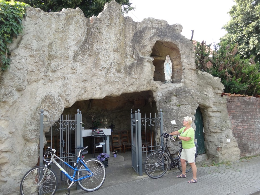
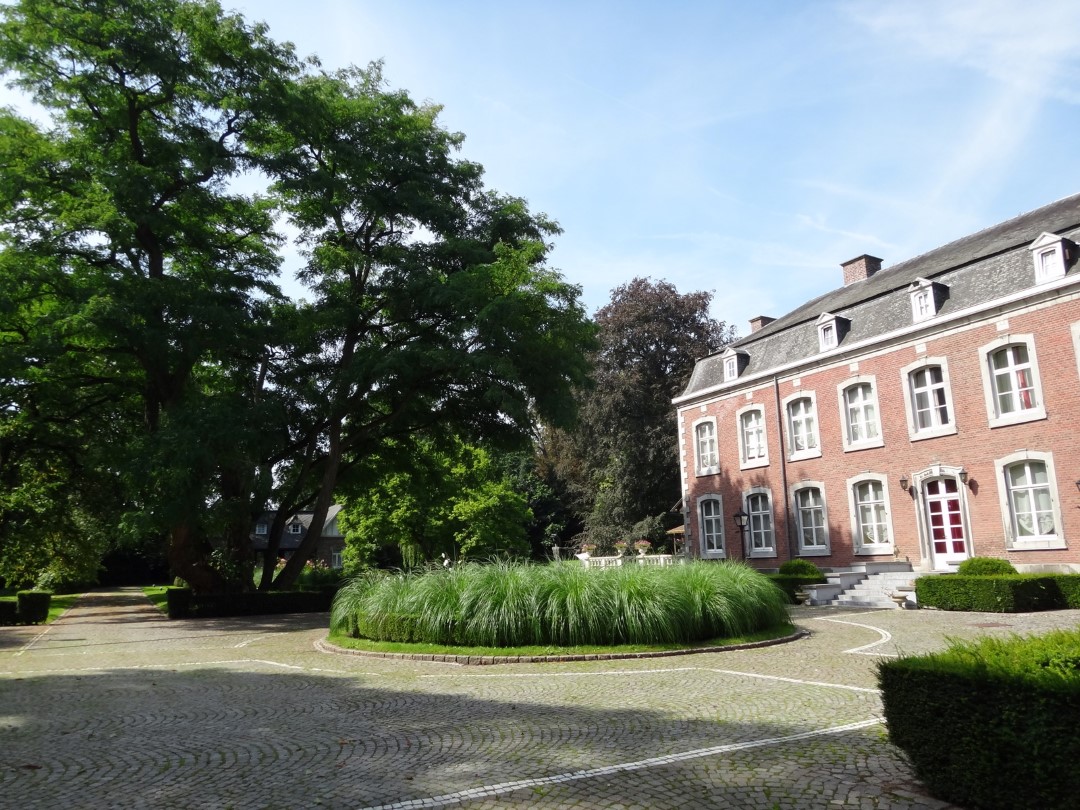
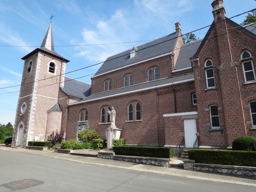
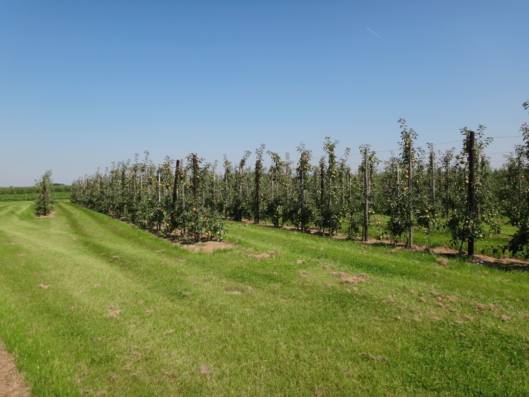
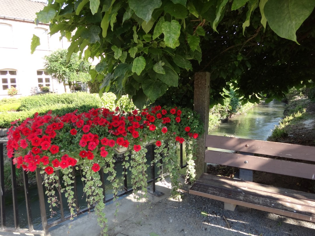
The expansive agricultural landscape around Landen is interwoven with Roman and early medieval history: burial mounds, defensive mounds, an archaeological site, and historic farmsteads. You’ll cross the Kleine Gete twice. Stop by the Rufferdinge Experience Center and learn all about technology and hydropower in the old watermill. At the Sinte Gitter archaeological site, you’ll find the remains of two Merovingian graves from the 7th century. This bike route is at its most beautiful during the cherry blossom season.
automatic translation
 nodes to follow
0 km
0.9 km
6.7 km
8.7 km
12.1 km
13.8 km
16.5 km
18.2 km
20.3 km
24.9 km
29.8 km
31.1 km
39.5 km
40.8 km
41.6 km
Saturday, May 14, 2022 by D.M.Very quiet roads.You must not be thirsty or hungry though
automatic translation
Friday, July 23, 2021 by J.S.Very pleasant, beautiful route. Well signposted. Attention, from junction 22 to 61, which is about 20 km, there are no terraces or restaurants. Afterwards, you have a choice. The landscapes and the small village centers are worthwhile. Highly recommended for those who love wide open views and tranquility.
automatic translation
Sunday, April 15, 2018 by S.N.The route now runs along the renewed bicycle network of Flemish Brabant. The signage is back 100% in order.
automatic translation
Tuesday, August 29, 2017 by R.L.too many signs lying on the ground so I quickly lost my way. Too bad
automatic translation
Monday, April 17, 2017 by L.P.My wife and I did this bike route. It is beautiful bike route but a little neglected we have the impression, because there were 2 or 3 clue plates gone in this bike route. And in rumsdorp in the pitsaerlaan, there from the little bridge to the top of the curve of the mountain is a bit dangerous. This Field road pitsaer avenue in rumsdorp is neglected and is very urgent to repair ? !
automatic translation
Sunday, April 9, 2017 by V.C.looks cool we are definitely going to try this afternoon
****
automatic translation


 Upgrade to Premium Plus
