 Biking
 Login
Login
 More
More
 EN
EN
 Premium
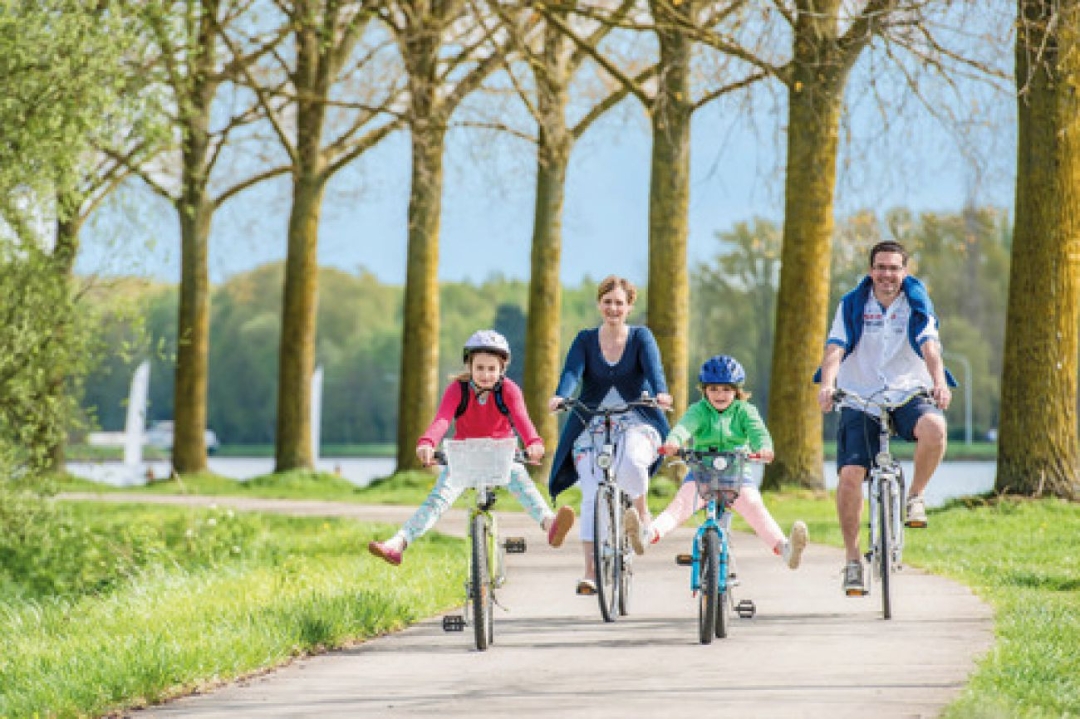
Tournai and its river banks
44 km • Tournai
 official route
2.6878 2 3/5
 Addresse starting point (approximate)
Esplanade de l'Europe, 7500 Tournai, BE
 signage
The route is fully signposted with nodes.
 Description
This itinerary explores the countryside near Tournai, all the way the Grand Large de Péronnes: a stunning, 45 hectares water plane. Perfect for a picnic or a drink on its banks!
Its belfry and cathedral, listed by UNESCO, are part of its many gems. Enjoy its pretty streets, the path along the Escault, with narrowboats passing by.
 nodes to follow
0 km
0.2 km
2.3 km
3.1 km
3.8 km
5.2 km
7.1 km
8 km
8.1 km
9.3 km
11.1 km
11.7 km
15.3 km
17.2 km
18.1 km
18.9 km
19.6 km
21.3 km
21.4 km
21.4 km
21.5 km
21.8 km
22.6 km
23.4 km
23.7 km
25.4 km
25.6 km
27.7 km
29.1 km
30.5 km
32.4 km
33.1 km
33.1 km
33.6 km
34.5 km
34.7 km
34.9 km
34.9 km
34.9 km
35.9 km
37.2 km
40.1 km
40.2 km
43.4 km
43.6 km
43.7 km
44 km
Monday, September 8, 2025 by A.C.We did the bike tour on 7/9/25. The signs with junctions were incorrect or missing. We had to use waze /google maps from junction 15 (the signs were correct). From there it was the best part of the tour!
automatic translation
Tuesday, July 15, 2025 by A.R.Due to road works the sign 77 was unfindable and we took a wrong turn for 2 km. The sign between junction 11 and 8 was also unfindable and we took a wrong turn there too. After nr 11 you have to follow the Ravelroute along the water and then you arrive at sign nr8. From nr 15 you constantly drive along the water and is the most beautiful part of this route.
automatic translation


 Upgrade to Premium Plus
