Biking
 Login
Login
 More
More
 EN
EN
 Premium
A piece of flat Flanders land
automatic translation
60.4 km • Nieuwpoort
12.00536 1 3/5

 Addresse starting point (approximate)
Oude Veurnevaart 90, 8620 Nieuport, BE
 signage
The route is fully signposted with nodes.
 Description
The route starts in Nieuwpoort Stad, a small town with very beautiful houses, situated on the Yser. The first part of the route takes us along the old railway track, the Frontzate, to Stuivekenskerke.
A bit further, we drive along the Yser before turning towards Mannekensvere, a place where tolls were collected in the Middle Ages. A little further on, we have to deviate from our route due to roadworks, but thanks to the junction points, we get back on track.
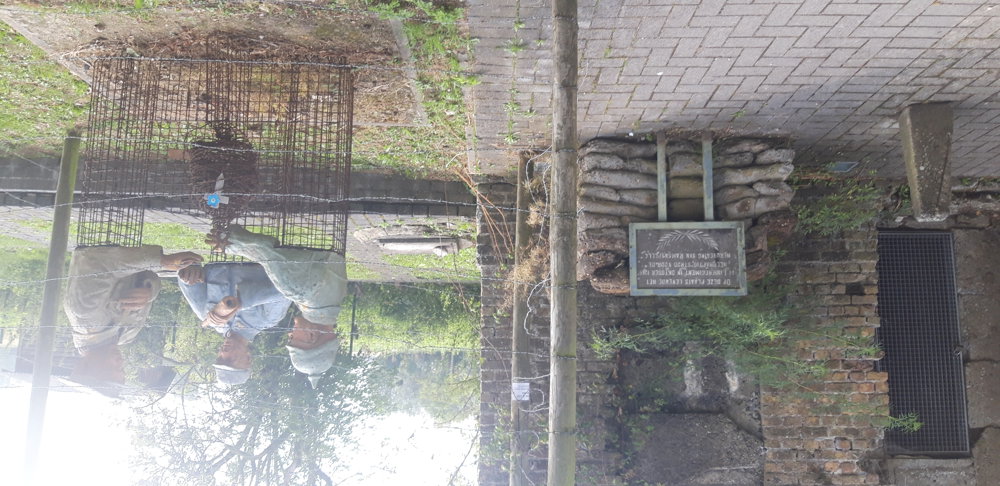
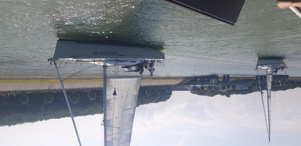
We then drive through the dunes past the bunkers of Raversijde, the bird rescue center, to Mariakerke. From Mariakerke, we drive for a large part along the coast to Westende. We then venture a bit inland, past the campsites towards the ferry in Nieuwpoort. Nieuwpoort beach resort is also known for its beautiful shops.
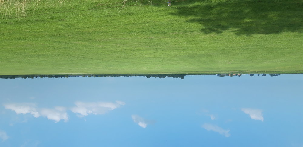
Along Nieuwpoort harbor, we drive back to Nieuwpoort Stad. Also nice: the many information boards along the route and not too many long straight roads, which you often find in the polders.
automatic translation
 nodes to follow
0 km
1.8 km
4.3 km
6.2 km
6.4 km
7.7 km
8.9 km
9.9 km
10 km
13.1 km
13.2 km
13.3 km
16.7 km
18 km
20 km
20.9 km
23 km
25.6 km
26.5 km
27.6 km
28.1 km
29.3 km
30.7 km
31.2 km
32.2 km
34.8 km
35.9 km
36.9 km
37 km
38 km
40.7 km
41.6 km
42.2 km
43.8 km
45.3 km
46.6 km
48.5 km
49.4 km
51.5 km
52.8 km
54.4 km
55.3 km
55.8 km
55.8 km
55.8 km
57.5 km
58.8 km
59.4 km
59.5 km
60 km
60.4 km



 Upgrade to Premium Plus