 Biking
 Login
Login
 More
More
 EN
EN
 Premium
Experience the Utrecht Waarden
automatic translation
31.3 km • Montfoort
1.5535 1 4/5

 Addresse starting point (approximate)
Doeldijk 4, 3417 XD Montfoort, Netherlands
 signage
The route is fully signposted with nodes.
 Description
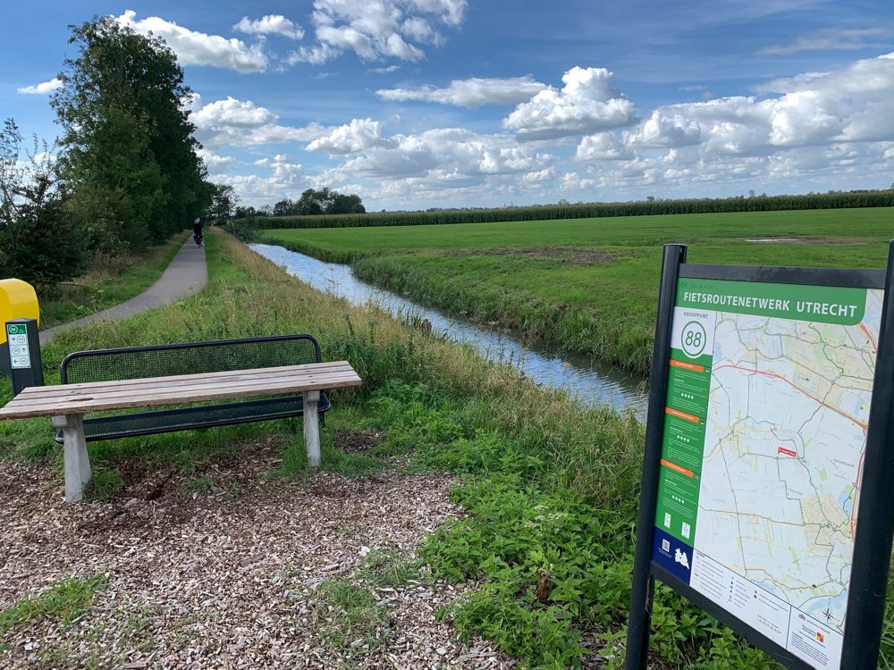
The Utrechtse Waarden are located in the Green Heart in the southwest of the province of Utrecht.
This area was originally a marshland. From the eleventh century, the peat soil was made suitable for orchards and livestock farming by digging ditches and gullies. The peat began to settle and the ground started to sink. The difference in height created a current (isel) from the Rhine and the Lek: the Hollandse IJssel.
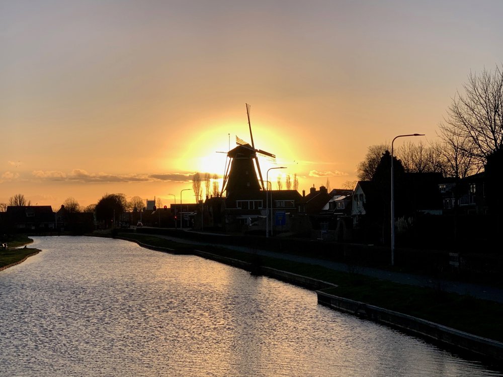
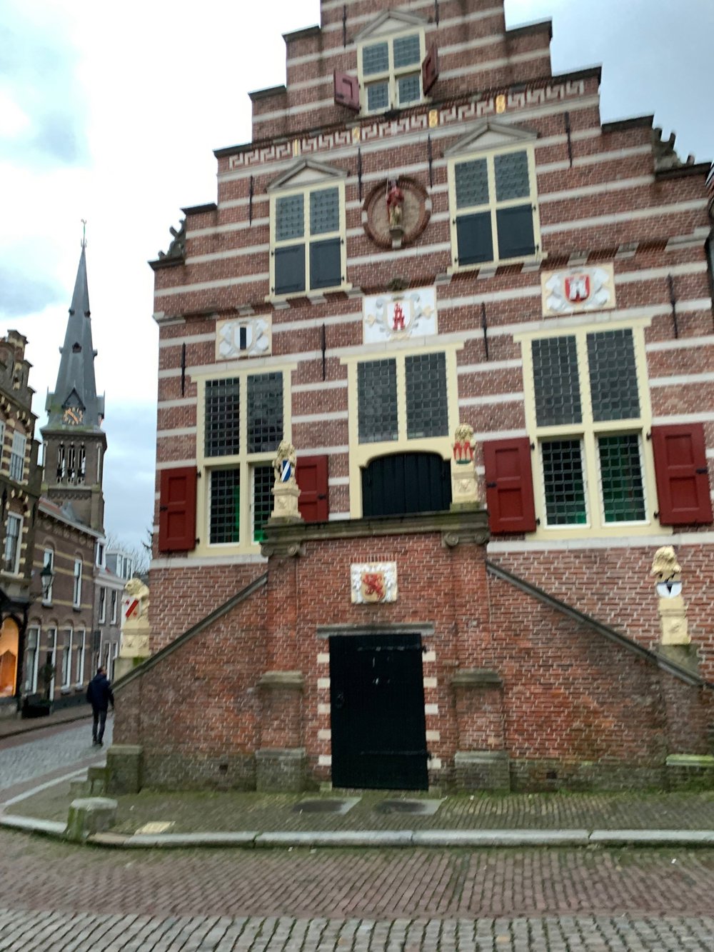
The Linschoterwaard is situated to the north of the Hollandse IJssel, and the Lopikerwaard to the south. This peat meadow area lies partially below sea level and is kept dry by pumping stations. You cycle through Linschoten, Montfoort, and Oudewater. Enjoy the open meadow landscape, the protected village and city views, and the windmill De Valk in Montfoort along the way. Near the route is the famous Heksenwaag of Oudewater.
Along the way, you can rest at farm shops, taste healthy regional products, and learn more about this beautiful area.
automatic translation
 nodes to follow
0 km
1.6 km
6.9 km
8.2 km
12.8 km
14 km
19.8 km
20.1 km
20.4 km
20.7 km
24.8 km
26.6 km
28.4 km
31.3 km


 Upgrade to Premium Plus
