 Biking
 Login
Login
 More
More
 EN
EN
 Premium
Wilderness in front of the wheels
automatic translation
57 km • Dilsen-Stokkem
 official route
5.7279 0 0/5
 Addresse starting point (approximate)
Visitor Center De Wissen: Negenoordlaan 2
 signage
The route is fully signposted with nodes.
 Description
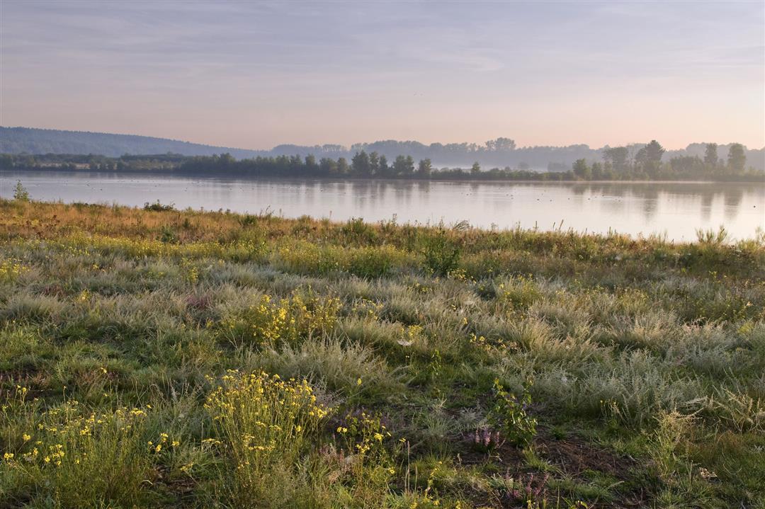
The mighty Meuse, one of the oldest rivers in the world, shaped this beautiful valley in eastern Limburg. The wild rain river gave nature free rein in several places. The Meuse Valley is one of the driest and sunniest regions of Western Europe. The specific soil of gravel and gravel brings forth a lot of beauty, from fragrant herbs to graceful vines. You alternate endless banks with some cultural highlights, such as the town of Maaseik. But if you leave the winter dike and set course for the hinterland, a fresh can of nature opens up. With vast forests, fens, gurgling water mills and land dunes, you traverse Duinengordel. You cycle past the centuries-old Volmolen and through Bergerven, a vast nature reserve with gravel ponds, typical plant life and tough wild grazers. Two unique landscapes combined in a day trip of 57km. Yep, the Limburg Great Outdoors is in front of your wheels!
automatic translation
 nodes to follow
0 km
1.5 km
1.8 km
7.4 km
8 km
11.3 km
15.3 km
21.1 km
26.3 km
30.4 km
34.4 km
36 km
40.1 km
43 km
46.8 km
48.7 km
54.1 km
54.8 km
55.1 km
56.6 km


 Upgrade to Premium Plus
