 Biking
 Login
Login
 More
More
 EN
EN
 Premium
Pajottenlandroute
76.6 km • Galmaarden
 official route
4.1297 0 0/5
route offered by
 Addresse starting point (approximate)
Andreas Masiusplein, 1750 Lennik
 signage
The route is fully signposted with nodes.
 Description
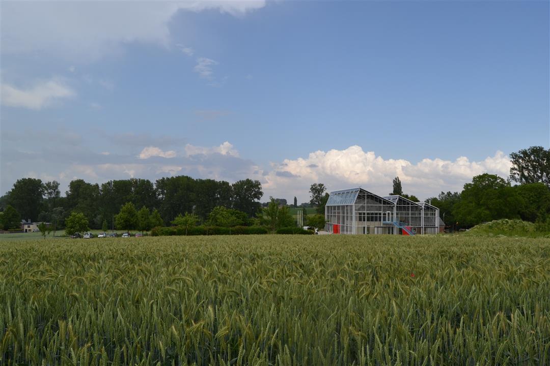
A challenging bike route that takes you past many of the Pajottenland’s highlights. Climb the Congoberg in Vollezele, where Brabant draft horses are always grazing. The Kesterheide also requires some climbing, but a panoramic view of Brussels awaits you along the way. You’ll also cycle past heritage gems such as the Woestijnkapel and the Bree-Eik farmstead. Take your time to relax in charming villages and enjoy the rolling landscapes.
Before you set off: This route is presented by the municipalities of Roosdaal, Pajottegem, Pepingen, and Lennik, and Tourism Flemish Brabant.
automatic translation
 nodes to follow
0 km
1.8 km
4.9 km
5.7 km
7.2 km
8.3 km
9.6 km
12.4 km
13.7 km
14.7 km
15.8 km
19.6 km
20.9 km
23 km
25.1 km
25.4 km
27.1 km
29.7 km
32.1 km
35.6 km
37.4 km
37.6 km
40.9 km
42.2 km
46.7 km
50 km
50 km
52 km
53.4 km
54.1 km
55.1 km
55.9 km
58.8 km
59.1 km
62.2 km
63.1 km
64.9 km
65 km
65.4 km
66.7 km
70.4 km
72.1 km
73.2 km
73.2 km
76.4 km


 Upgrade to Premium Plus
