 Biking
 Login
Login
 More
More
 EN
EN
 Premium
Stage 2: Voerstreek
automatic translation
53 km • Riemst
 official route
7.2156 2 4/5
 Addresse starting point (approximate)
Onder de brug in Kanne, Jekerstraat 4
 signage
The route is fully signposted with nodes.
 Description
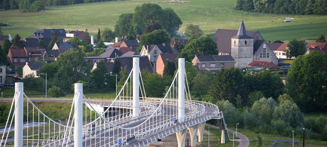
Stage 2 of 6: During this stage, climbing goats, lightweights or e-bike smarties excel. We head into the Voer region, where the landscape reveals one magnificent panorama after another, but where you have to get on the pedals to reach those spots. This is how we reach the highest point in Flanders in Remersdaal. Along the way picturesque villages along the Veurs and the Voer, beautiful nature and more than enough spots for a good piece of Limburg flan or an ice cream.
automatic translation
 nodes to follow
0 km
0.1 km
2.7 km
5.7 km
6.7 km
7.9 km
7.9 km
7.9 km
8.7 km
10.6 km
13.2 km
17.2 km
18.4 km
20.9 km
23.3 km
30.9 km
31.9 km
33.7 km
33.7 km
33.7 km
36.7 km
36.7 km
37 km
41.8 km
44.4 km
45.1 km
46.6 km
46.6 km
47.8 km
48.8 km
50.3 km
52.8 km
53 km
Sunday, November 9, 2025 by R.P.nodes 405,411,412,413,414 not to find! route from the beginning to adapt. partly on Walloon RaVel nodes but that is not mentioned as well as that at ferry, knppt 76-77 the ferry is not open.. the route was very beautiful, with beautiful panoramas and steep hills. is not 53 km, but 62 km
automatic translation
Saturday, July 19, 2025 by R.K.The stated distance is not correct. It is only 43 km
automatic translation


 Upgrade to Premium Plus
