Biking
 Login
Login
 More
More
 EN
EN
 Premium
Asparagus Route
28 km • Haacht
4.59312 2 2.5/5
route offered by
Toerisme Haacht
 Addresse starting point (approximate)
Markt (centrum Haacht)
 signage
The route is fully signposted with thematic signs (no nodes).
 Description
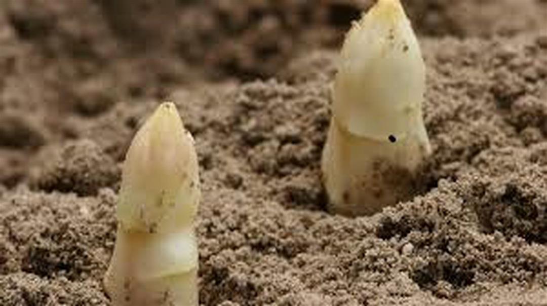
This child-friendly bike tour connects the municipalities of Haacht and Keerbergen, taking you past our attractions and local asparagus growers. During the season, be sure to visit our local growers who offer asparagus straight from the field throughout the season. You can cycle the entire route in one go or divide it into two shorter bike rides. The route is fully signposted.
This route is offered to you by the municipality of Haacht and the municipality of Keerbergen.
 nodes to follow
0 km

1 km
3.1 km
4.3 km
5.7 km
6 km
8.4 km
10.1 km
11.1 km
13.7 km
15 km
16.6 km
17 km
17.1 km
17.6 km
17.9 km
18.7 km
21 km
23.3 km
25.8 km
26.8 km
27.3 km
27.7 km

27.9 km
Saturday, May 23, 2026 by Sigi HeThe route isn't too long and offers plenty of variety. Most of the roads are paved, and the unpaved ones are in good condition. The only problem is at the roundabout on Stationstraat, where the signs are very unclear and it's easy to get lost. A little further on, you need to go straight through an intersection onto Stationstraat, but there's no sign indicating this.
automatic translation
Wednesday, July 30, 2025 by P.D.Had a little problem between KP 23 and KP 64. Didn't find the connecting road just after KP 23 with the Reigersweg and signage was missing. Drove as far as Piervenshoek and got back on the route from there. Did not do the full route due to time loss at KP 23.
automatic translation



 Upgrade to Premium Plus