 Biking
 Login
Login
 More
More
 EN
EN
 Premium
A blue streak through wavy green
automatic translation
41.5 km • Aarschot
 official route
5.56613 2 4/5
 Addresse starting point (approximate)
Parking Meetshovenbos/Wit Toreke, Terheidelaan 97
 signage
The route is fully signposted with nodes.
 Description
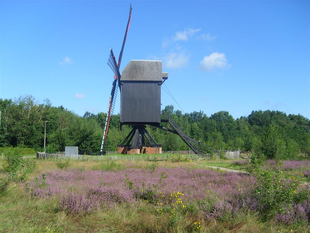
On the border between Hageland and Kempen, Landscape Park de Merode constantly surprises you. Sometimes you meander along the flat Demerdijk. Then you cycle up and down through green forests. A landscape with spirit in which the inhabitants also try to fit in harmoniously. Wind, water, sun and fertile soil: along the way you will discover how these natural elements also helped man to find his place in the Merode.
With places of interest: Meetshovenbos, 's Hertogenmolens, Onze-Lieve-Vrouwekerk, Streekwinkel De Vliertuin, 't Hof 6. De Heimolen, De Langdonken, Brasserie De Verlossing, Provincial Green Estate Hertberg and Ten Kapittelberg.
automatic translation
 nodes to follow
0 km
0.9 km
1.6 km
2 km
2.8 km
5.5 km
10.9 km
11 km
11.1 km
16.2 km
16.3 km
21.7 km
25.4 km
27.2 km
29 km
30.9 km
31 km
35.3 km
36.7 km
40.6 km

41.5 km
Monday, August 18, 2025 by Chris HendrixBeautiful route (!), mostly on low-traffic roads/paths and lots of shade . The parking is very small (unless you go on the private parking of Wit Torentje), I would rather park at the swimming pool in Aarschot, is also along the route.
automatic translation
Wednesday, September 13, 2023 by P.D.Lots of turning and turning. Lots of unpaved road. Paying close attention to the road so as not to fall is necessary. This is unfortunate because you drive through beautiful nature / forests. Because you have to focus so much on the road you can enjoy the surroundings less.
automatic translation


 Upgrade to Premium Plus
