 Biking
 Login
Login More
More EN
EN Premium
Biting into the farmlands of the Merode (abbreviated loop 2)
automatic translation
49 km • Herselt
 official route
1.5660 0 0/5
 Addresse starting point (approximate)
Mie Maan, Diestsebaan 28
 signage
The route is partially signposted with nodes. Use a GPS device or our app to follow the route.
 Description
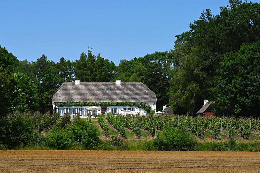
Landscape Park de Merode is a region where man has always lived close to nature. Besides vast forests and beautiful moorlands, fertile fields, orchards and gardens today provide a generous basket full of delicious regional products. In farms, farm stores or workshops, the industrious inhabitants translate this close connection with their land into tasty or special products. These places are often hidden in the quiet countryside. Ideal for exploring by bike along car-free roads. The cycling routes in this booklet guide you along the most interesting addresses. Oh yes, leave with empty panniers, because they are guaranteed to be filled with deliciousness when you return!
With places of interest: Mie Maan at KP 88, Ten Kapittelberg, Drieshoeve, Hoevewinkel Verhaert, Beleefboerderij De Vliertuin, Geitenboerderij 't Plekske, De Snelle Bij, Liqueurs Henri Lecoq, Fietscafé 't Schelft, De Biohoeve, Imker Roger Vrindts, Abdij van Tongerlo at KP 81, center Westerlo and Streekproductenshop Westerlo.
automatic translation
 nodes to follow
0 km
0.2 km
2 km
5.8 km
8.5 km

9.2 km
9.6 km
10.1 km
10.8 km
12.4 km
15.2 km
15.7 km
16.1 km
17.1 km
19.4 km
20.9 km
22.4 km
23.1 km
23.6 km
24.2 km
24.9 km
24.9 km
25.9 km
30.2 km
32.1 km
32.6 km
33.1 km
34 km
34.4 km
35.1 km
39.4 km
41.1 km
42.8 km
42.8 km
43.9 km
44.1 km
44.3 km
44.4 km
48.6 km


 Upgrade to Premium Plus
