 Biking
 Login
Login
 More
More
 EN
EN
 Premium
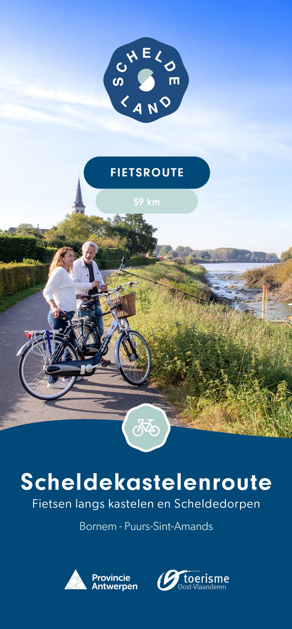
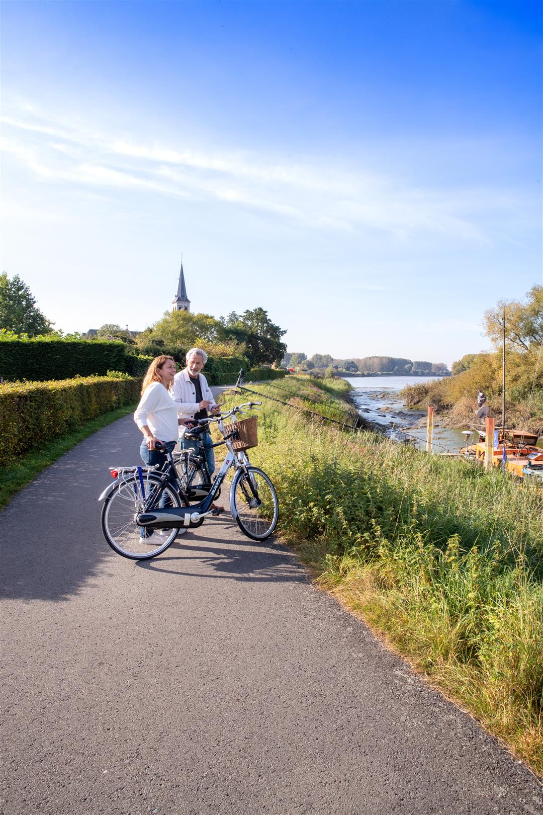
Scheldt Castles Route
automatic translation
58.6 km • Bornem
 official route
7.18515 1 5/5
58.6 km
0.0 km
0.0 km
 Addresse starting point (approximate)
Parking Abdij van Bornem (KP 23) en Parking Kaai Sint-Amands (KP 67) 71, 2000 Bornem en Puurs-Sint-Amands
 signage
The route is fully signposted with nodes.
© Toerisme Provincie Antwerpen
 Description
This bike route charms with picturesque villages, breathtaking nature and not one, but two fabulous castles. Hop on your bike and immerse yourself in a world of lush park gardens, unique works of art and noble intrigue. Of course, the meandering waters of the Scheldt are never far away either. In the natural splendor along the banks of the Scheldt, you can catch your breath again.
automatic translation
 nodes to follow
0 km
0.8 km
2.5 km
2.8 km
3.4 km
4.7 km
7.5 km
11.6 km
11.8 km
13.4 km
16.3 km
17.8 km
19.5 km
20.5 km
23.1 km
23.3 km
26 km
27.9 km
30.2 km
32.9 km
34.4 km
34.6 km
36.7 km
38.1 km
40.3 km
42.8 km
47 km
47.4 km
48.6 km
50.1 km
51.1 km
53 km
55 km
56.5 km
58.6 km


 Upgrade to Premium Plus
