 Biking
 Login
Login
 More
More
 EN
EN
 Premium
Between deer and cows in the Boshoek
automatic translation
35.7 km • Lint
7.47819 4 4.6/5
route offered by
Toerisme Provincie Antwerpen
 Addresse starting point (approximate)
Paul Van Ostaijenlaan (Sportpark Hove), 2540 Hove
 signage
The route is fully signposted with nodes.
 Description
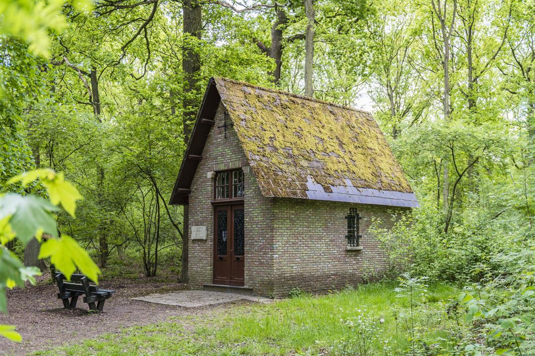
Between Boechout, Hove, Lint and Lier you cycle through a large open area: the Boshoek. The Boshoek is a patchwork of woods and farmland, crossed by the lachenebeeken and the Luitersheideloop. Get off your bike at the height of the Owl Forest in Hove. This ancient forest has been open to the public since 2017. Who knows, you might spot a leaping roe deer? Set your sights on the Moretus woods and the protected landscape the Melkkuip. At the Biesbesbos you can picnic, play or walk up to the Courtois Chapel. Follow the water along the Netedijk through the historic center of Lier. The Lachenebeek flows into the Nete. Along the bike lane are the Bos van Marpingen, Klimaatbos and Papendonkbos. From here you can walk across the meadow between the cows towards the Owl Forest. In the Klimaatbos along the Luitersheide, children (and adults!) can romp on the play hill. Take a break from your route and enjoy an artisan ice cream or stop by the milk machine for a refreshing glass of milk.
automatic translation
 nodes to follow
0 km
2.1 km
5.4 km
5.8 km
7.7 km
9.3 km
10 km
10.5 km
13.7 km
16.2 km
18.4 km
20 km
20 km
20.1 km
20.9 km
22.4 km
27.1 km
27.8 km
28.5 km
31.8 km
33.5 km
35.6 km
Friday, May 1, 2026 by Herman Van den ReeckA very nice route, quiet roads, passing by the former grounds of FC De Kampioenen, plenty of outdoor cafes, a playground for children, and—for nature lovers—along the Pallieterpolder, where you can spot quite a few waders. The only issues were around junction 5, due to construction work and unclear signage; we ended up riding along a one-way street that was also off-limits to cyclists.
automatic translation
Friday, May 1, 2026 by J.H.A really beautiful route that takes you through Boechout, Lint, Hove, and Lier, with plenty of places to grab a drink and bike-friendly paths... the only thing is... I didn't see any deer 😄
automatic translation
Friday, May 1, 2026 by Leen RaeymaekersA very nice route, but I would have preferred to drive around Lier instead of through the city center.
automatic translation
Sunday, April 12, 2026 by Anouck Clissenreally nice! definitely recommend it. in lier is also a nice playground where you can eat your food in peace with the kids!


 Upgrade to Premium Plus
