 Biking
 Login
Login
 More
More
 EN
EN
 Premium
About water and landscapes
automatic translation
32.5 km • Aartselaar
5.16113 2 3.5/5
route offered by
Toerisme Provincie Antwerpen
 Addresse starting point (approximate)
Kleistraat (zwembad en sporthal), 2630 Aartselaar
 signage
The route is fully signposted with nodes.
 Description
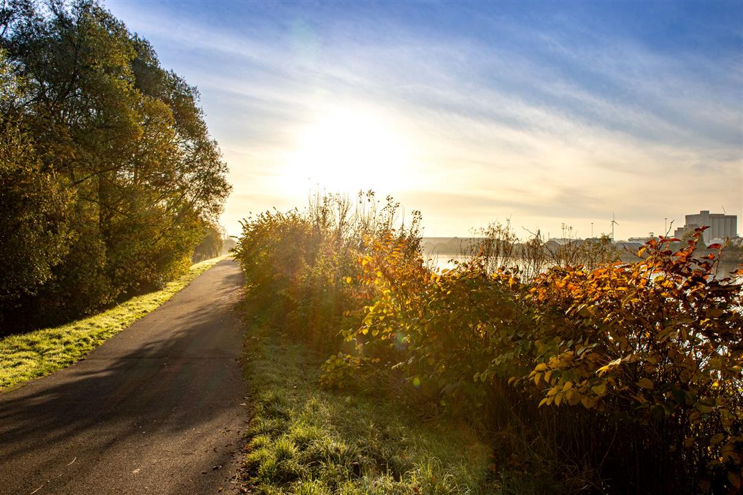
The Zuidrand is bordered to the south by major rivers. This bike loop takes you along the waters of the valley of the Wullebeek and the Babbelse beek to the Nete and the Rupel. While cycling you will recognize the Old Railway embankment as an elongated green ribbon in the agricultural landscape. You cycle over this railroad embankment twice. From the highest point of Kontich and Waarloos, you cycle down towards the river Nete. Through the winding dikes you arrive at Provincial Recreation Domain De Schorre. In the valley of the Wullebeek the Reukenspad leads you right through the open landscape with alternating small-scale agriculture, forests, standard orchards, grazing meadows and hay meadows. Take a rest at the water playground of the Hessepoelbeel in Waarloos on a picnic bench along the water or in De Reukens.
automatic translation
 nodes to follow
0 km
2.7 km
4.1 km
5.5 km
7.6 km
9.7 km
10.6 km
13.3 km
19.5 km
20.3 km
23.3 km
25 km
27 km
27.4 km
28.2 km
31.7 km
32.5 km
Wednesday, April 8, 2026 by Djana GijbelsFor us personally, this is a less appealing route. It runs mostly along houses and streets—sometimes very busy ones—and doesn't take you through nature as much.
automatic translation
Monday, August 18, 2025 by A.W.It is indeed a beautiful route with lots of nature.
automatic translation


 Upgrade to Premium Plus
