 Biking
 Login
Login
 More
More
 EN
EN
 Premium
Brialmont Road
automatic translation
43.1 km • Antwerp
 official route
9.35614 6 1.8/5
route offered by
 Addresse starting point (approximate)
Gerard le Grellelaan 1, 2020 Antwerpen
 signage
The route is fully signposted with thematic signs (no nodes).
 Description
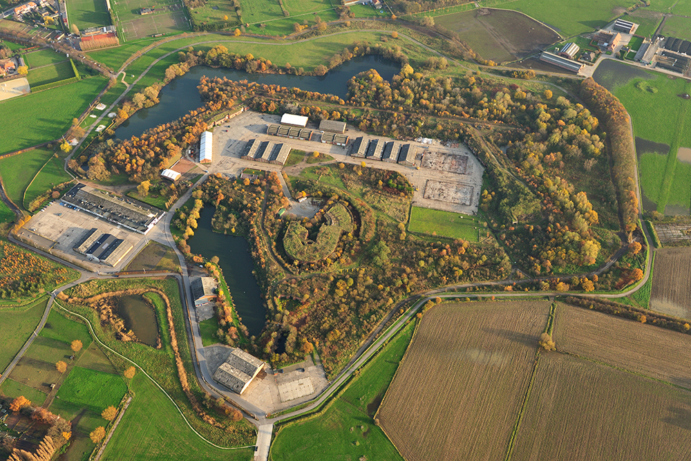
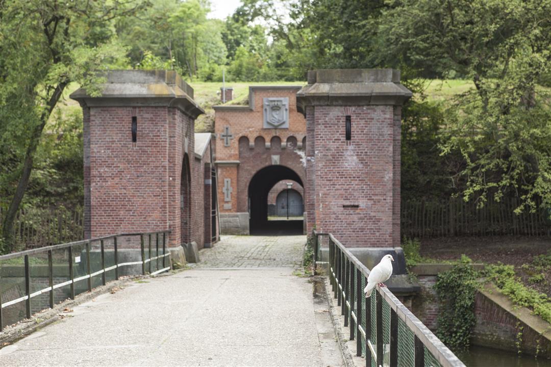
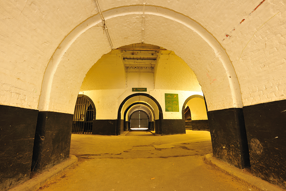
After independence in 1830, Belgium was imposed strict neutrality. Since our country had no real natural defenses, a National Reduit was chosen. In the event of an enemy invasion, the army would retreat to Antwerp and resist until our allies came to the rescue. This defense concept provided for the Great Wall and a series of forts around Antwerp, based on the design of Captain Henri Alexis Brialmont. In five years (1859-1864), eight quasi-identical brick forts were built between Wijnegem and Hoboken. Both economically and militarily, the forts quickly proved outdated. In 1965, the ramparts disappeared almost entirely for the construction of the ring road around Antwerp. The forts themselves - except for that of Wijnegem - were beautifully preserved. Today you can walk, cycle or sport in green surroundings. Cultural events often take place there. The dark, damp spaces are a popular hibernation spot for bats.
automatic translation
Alternative versions
Monday, July 6, 2026 by F.H.Don't attempt this without a navigation system; the Wommelgem Fort is beautiful, but the route as a whole isn't recommended—lots of bumpy roads, with some greenery and nature here and there.
automatic translation
Friday, August 15, 2025 by A.W.Except for the forts, not much of a place. You always drive around them.
Little nature and lots of bumps on the roads....
I think you're better off visiting Fort by Fort and taking a hike there.
automatic translation
Sunday, May 11, 2025 by Leon Luytenbad marking!!!!
automatic translation
Saturday, July 20, 2024 by V.S.Yet with a variety of experiences: urban area, nature, historical heritage. Trails are accessible. Best to take the map because signage is not always clear e.g. a sign placed after a turn you have to take. Had to cycle back several times (sporting value added :) )
automatic translation
Saturday, June 29, 2024 by Katelijne PeetersStarted the route today in Berchem and got stuck in Wommelgem. Either the signage was wrong or I overlooked something. Tried to follow the road 3 times and arrived at the same point every time... Too bad... 🥴
automatic translation
Thursday, June 27, 2024 by Hagendorens Frederikmap ok - node numbers are not readable, however -- please update
automatic translation


 Upgrade to Premium Plus
