Loading...

Strawberry Trail (northern loop)

automatic translation

27.2 km • Hoogstraten

Icon official route official route

27.2 km 0.0 km 0.0 km

route offered by

Badge of official route

more info

Icon starting point Addresse starting point (approximate)

Dreef 42, 2328 Meersel-Dreef

Icon type signage of route signage

The route is fully signposted with thematic signs (no nodes).

5m 5m 5m 5m
Atmosphere image 1 of route Strawberry Trail (northern loop) Atmosphere image 2 of route Strawberry Trail (northern loop) Atmosphere image 3 of route Strawberry Trail (northern loop) Atmosphere image 4 of route Strawberry Trail (northern loop) Atmosphere image 5 of route Strawberry Trail (northern loop) Atmosphere image 6 of route Strawberry Trail (northern loop) Atmosphere image 7 of route Strawberry Trail (northern loop)
© vlaanderen-fietsland.be - Annemie Goetschalckx (Auteur)

Icon description route Description

(This is the northern loop of the Strawberry Trail)

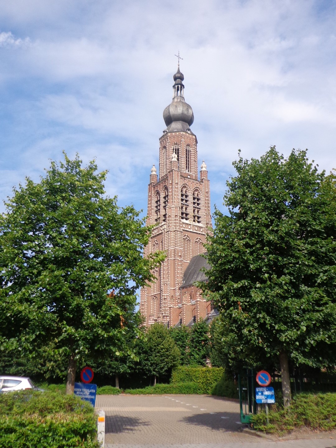
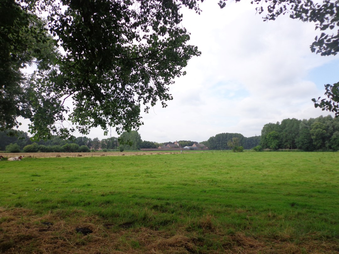
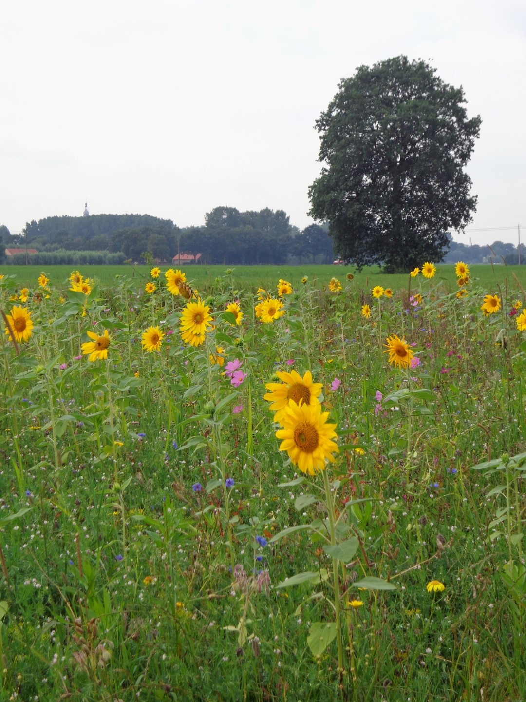
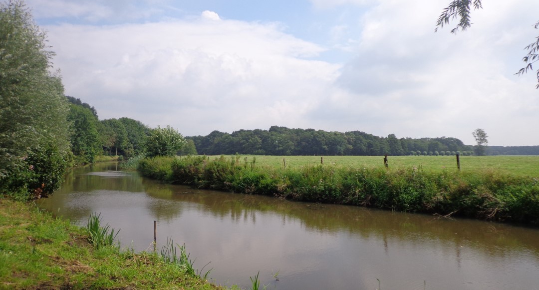
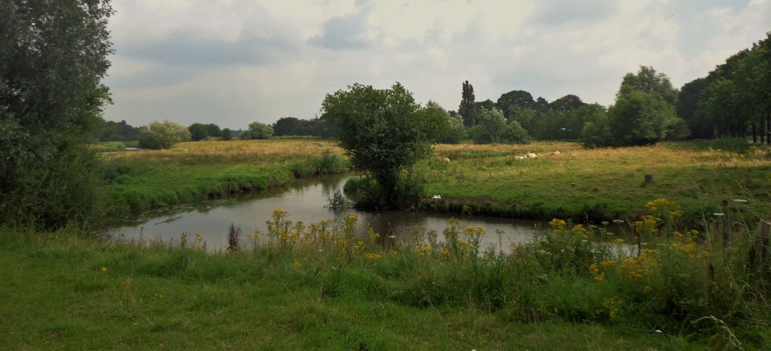
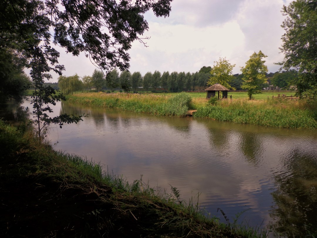
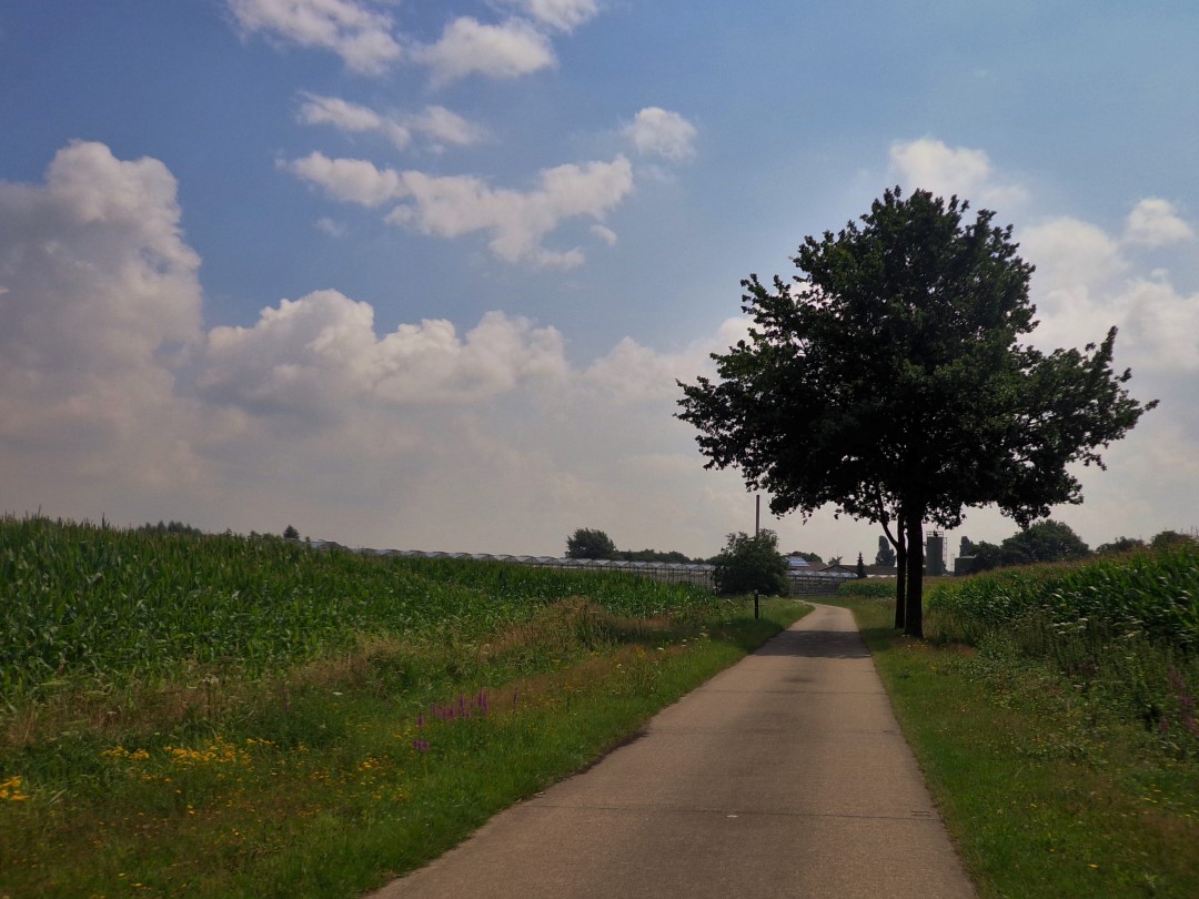
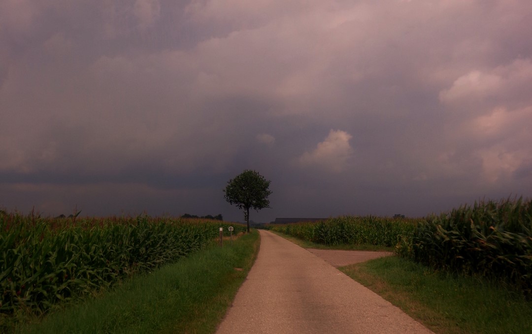
Hoogstraat strawberries are considered the finest and tastiest in the country. With an annual production of over 25 million kilos, Hoogstraten is the undisputed center of strawberry cultivation. The Strawberry Route illustrates how important agriculture and horticulture are in this region. It combines the historic center of Hoogstraten with the beautiful Mark Valley and the vast countryside of the Belgian-Dutch border region. You cycle past many greenhouses with strawberries and strawberry fields. Ever picked a portion of ultra-fresh strawberries from a vending machine? This is your chance! Be sure to taste the 'Hoogstraat queens' during or after your trip.... Courtesy of Kempen.

automatic translation

Alternative versions

40.2 km

Strawberry Trail

Bekijk route
20.3 km

Strawberry Trail (southern loop)

Bekijk route
This route does not have any reviews yet. Be the first!
Rate route!

Which POI do you want to show on the map?

Experimental cycling network
Unsigned icon

The route you have chosen runs (partly) along an experimental virtual cycling node network (the blue-coloured nodes and sections on the map).

You must be logged in to plan routes here.

Experimental cycling network
Unsigned icon

The route you have chosen runs (partly) along an experimental virtual cycling node network (the blue-coloured nodes and sections on the map).

These routes are not controlled in the field. Before you start cycling here, take a minute to read what an experimental cycling node network is and what rules you should follow when cycling here.