 Biking
 Login
Login More
More EN
EN Premium
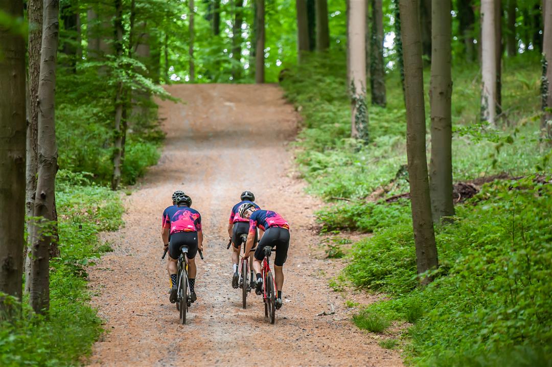
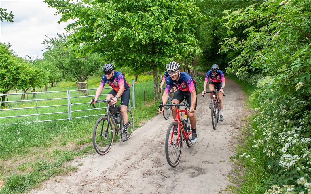
Geuze Gravel Road
automatic translation
97.2 km • Sint-Pieters-Leeuw
 official route
6370 2 3/5
 Addresse starting point (approximate)
Pastorijstraat 21, 1600 Sint-Pieters-Leeuw
 signage
The route is not signposted. Use a GPS device or our app to follow the route.
 Description
The Geuze gravel route (97 km) takes you through the most beautiful Brueghel landscapes. The Pajotse slopes provide no less than 1000 meters of altitude, but the effort is rewarded with a tasty Geuze in a sympathetic village pub. The tour starts at the town hall of Sint-Pieters-Leeuw and takes you past the Rose Garden Coloma, the castles of Beersel and Gaasbeek, breweries Lindemans, Oud-Beersel and Boon and the impressive square farm Bree-Eik. Sense the fragrance of the Hallerbos and the elegant Park ter Rijst. The best view of the Brussels skyline is from the Sanatoriumstraat in Beersel.
Some figures: 36 km unpaved paths, 38 km car-free concrete lanes, 1.5 km cobblestones and 20 km asphalt roads.
This route is offered by Tourism Vlaams-Brabant vzw in collaboration with 666gravel.
automatic translation
Monday, March 11, 2024 by S.V.Very nice route. Varied with both wider gravel roads and single tracks through fields and forest trails through the Hallerbos. Spicy!
automatic translation
Wednesday, July 19, 2023 by R.B.Bad. The first 70% of the route is a mtb route rather than a gravel route. Then when I think of a beginner riding this route it is really dangerous. At times I really didn't understand why the route took certain trails when I know there are much better options. This route was clearly created by someone with no knowledge of the area.
automatic translation


 Upgrade to Premium Plus
