 Biking
 Login
Login
 More
More
 EN
EN
 Premium
Wijnbelevingsroute
46.3 km • Holsbeek
 official route
3.6106 2 1/5
route offered by
 Addresse starting point (approximate)
Kasteel van Horst, Horststraat 28, 3220 Holsbeek
 signage
The route is fully signposted with nodes.
 Description
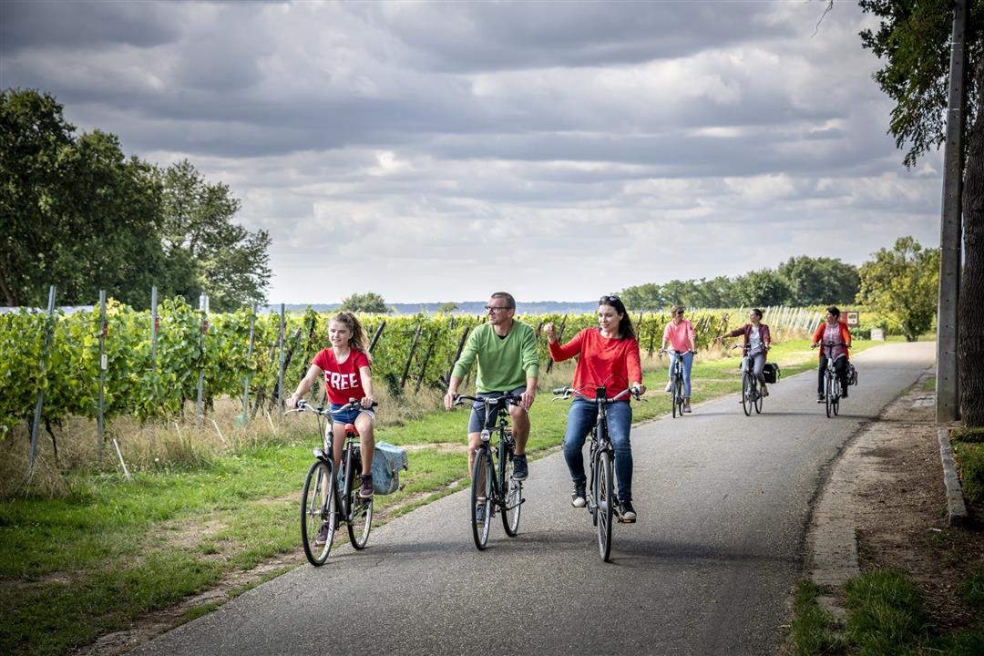
The vineyard terraces on the Houwaartseberg have a southern European flair, and the wineries along your route are happy to let you sample their Hageland wines. You’ll pass through a string of Hageland villages—such as Bekkevoort, Assent, Waanrode, and Molenbeek-Wersbeek—until you reach the Vlooyberg Tower in Tielt-Winge. This imposing, floating staircase made of rust-brown Corten steel offers a stunning panoramic view. Its color is a reference to the iron sandstone in the subsoil—the secret behind Hageland wine.
automatic translation
 nodes to follow
0 km
3 km
4.5 km
7.4 km
8.7 km
9.3 km
11.6 km
13.6 km
16.7 km
19.6 km
21.1 km
24.2 km
26.9 km
29.2 km
31.5 km
31.5 km
35 km
35.3 km
37.1 km
39.1 km
40 km
44.2 km
45.3 km
46.2 km
Saturday, May 23, 2026 by Marc Van EepoelThe route is a letdown; there’s way too much car traffic, a lot of noise from the highway you’re cycling alongside, and the rest of the way is along residential streets where there’s nothing to see.
automatic translation
Sunday, July 17, 2022 by J.N.outside the beautiful part around Houwaart, a junction of concrete roads with quite a few houses. Part along autostrada. 1/3 of the trip is pleasant. The rest a sad affair.
automatic translation


 Upgrade to Premium Plus
