 Biking
 Login
Login
 More
More
 EN
EN
 Premium
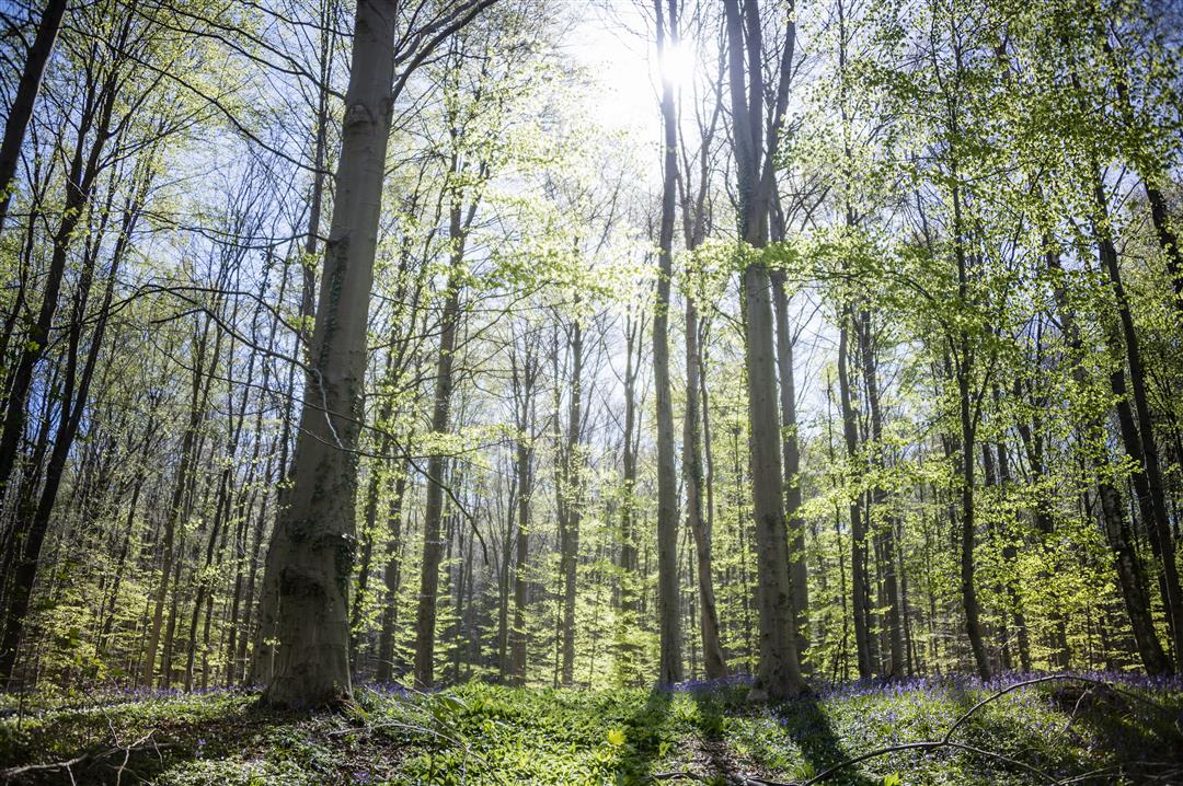
Hallerbosroute
28.6 km • Halle
 official route
6.1228 5 4.1/5
route offered by
 Addresse starting point (approximate)
Provinciedomein Huizingen, Henry Torleylaan 100, 1654 Beersel OR node 65
 signage
The route is fully signposted with nodes.
 Description
This bicycle route combines the natural beauty of the Hallerbos with the heritage of the city of Halle and recreation in the Provincial Domain of Huizingen. Sometimes you have to hit the pedals - the Hallerbos is quite tough - but along the Charleroi-Brussels Canal it is blissfully flat. Here, by the way, you can spot The Enchanted Forest, the largest street art work in Europe. On your way, you're sure to pass a cool pub or brasserie to sample a Geuze or other regional product.
Short route through the Hallerbos
You can also start this route at Halle station, at junction 65, and make a shorter version of it. At junction 52, cycle to junction 50 and the route becomes 18.7 km. Even on this shorter route you don't have to miss the purple carpet of wild hyacinths (end of April)!
Before you hit the road:
Due to the renewal of the Forest Gate Bridge in Halle, junction 65 has been modified and due to improvement works on the canal and its banks, part of the bicycle network between junctions 65 and 28 (= bicycle highway F20) is not accessible. Follow the detour via the Bergensesteenweg. During the weekend, you can also use the other bank of the Canal between Halle and Lembeek. The Short Hallerbos route is then 19.3 km long.
automatic translation
 nodes to follow
0 km
2.7 km
3.6 km
4.5 km
8.6 km
9 km
9.1 km
11.3 km
11.4 km
14.7 km
14.8 km
16.1 km
16.9 km
17.6 km
19.4 km
20.3 km
21.2 km
22.5 km
23.1 km
25.3 km
26.5 km
28.3 km
28.6 km
Thursday, July 31, 2025 by Johan Kindermans beautiful route and indeed very hilly but still recommended and definitely have some drinks with them
automatic translation
Wednesday, April 23, 2025 by E.L.Beautiful course indeed but a few km of paved roads are in need of some patching up. More doable with e-Bike than with regular bike. Halle is the place to enjoy a drink.
automatic translation
Saturday, September 7, 2024 by K.M.Very nice course, but very hilly, so not for beginners or children.
automatic translation
Tuesday, April 30, 2024 by E.B.Very varied route, through forests, fields and small country paths and roads.... but little flat, steep climbs followed by long descents, you need good legs and good brakes too ! Did not find any food/drink facilities along the way either, except at the departure and arrival point.
automatic translation
Wednesday, July 28, 2021 by S.C.Beautiful scenery but not for beginners. Unless electric of course. Nothing flat. Few cafes along the way, or I didn't see them because of pedaling ;-)
automatic translation


 Upgrade to Premium Plus
