 Biking
 Login
Login More
More EN
EN Premium
The beating heart of the Hoge Kempen
automatic translation
39 km • As
 official route
 Addresse starting point (approximate)
stationsstraat 126, 3665 As
 signage
The route is fully signposted with nodes.
 Description
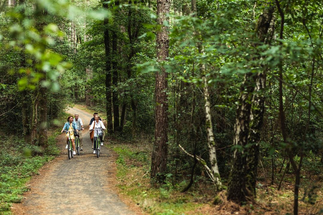
Artfully crafted locomotives at the Station of As are the starting point for a bicycle tour through the western part of the Hoge Kempen National Park. Through shady forests, it first goes in the direction of Waterschei. The old mine site, today Thor Park, is a green area with beautiful industrial heritage. Coming from the underground, pitch-black mining past, people here are now researching solutions for sustainable energy. Passing through Genk, we head to Kattevennen, where you will learn about our solar system at the Cosmodrome and along the surrounding trails. We leave the star road and over quiet forest paths we head towards Zutendaal. Further on at Cycling through the Heath, the landscape opens up completely. Cycling across the Mechelse Heide you enjoy wonderful vistas. In August and September, the purple flowering heather provides extra splendor. And at sunset ... it becomes completely fairylike.
automatic translation
 nodes to follow
0 km
2 km
4.6 km
5.2 km
7.9 km
14.2 km
16.2 km
18.8 km
23 km
26.3 km
27.5 km
29.1 km
31.5 km
35.7 km
35.8 km
35.8 km
38.7 km
39.2 km


 Upgrade to Premium Plus
