 Biking
 Login
Login
 More
More
 EN
EN
 Premium
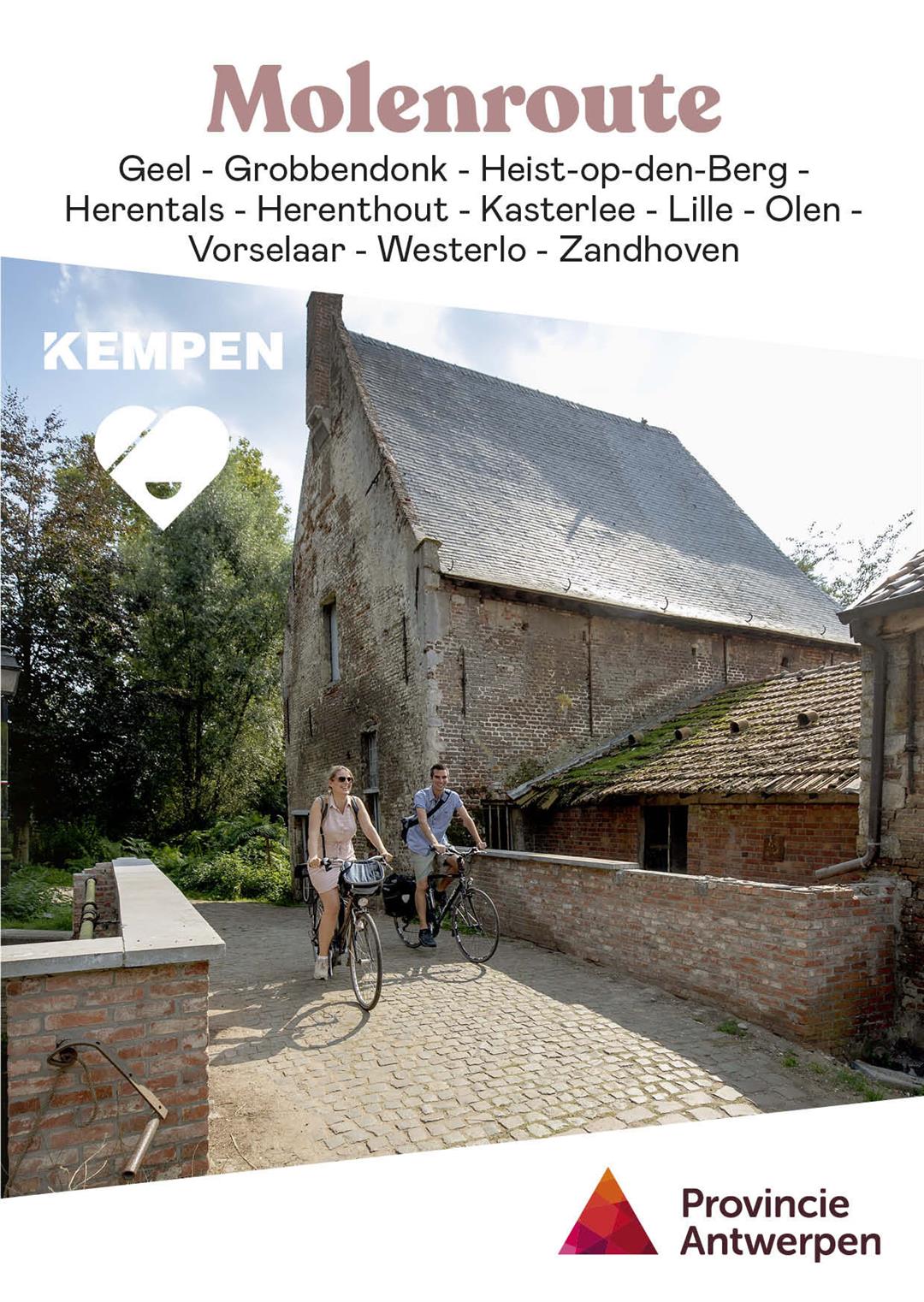
Mill route northeast
automatic translation
49.2 km • Herentals
7.02211 4 4.9/5
route offered by
Toerisme Provincie Antwerpen
 Addresse starting point (approximate)
Grote Markt 1, 2200 Herentals
 signage
The route is fully signposted with nodes.
 Description
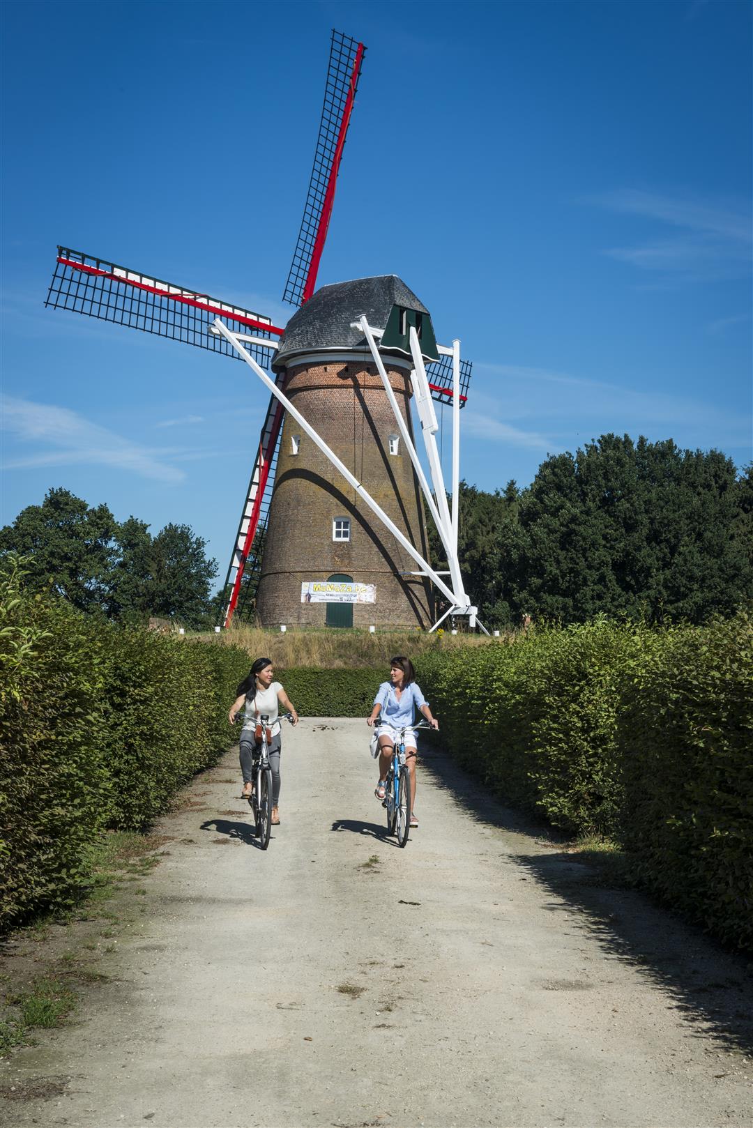
A church tower, winding dirt roads, modest long-gabled farmhouses and a wind or water mill: this is what a Kempen village looked like for centuries. The first water mills appeared in the early Middle Ages. They were often owned by the local nobility. The windmill was a beacon in the landscape. It stood far from the houses, in a place where the sails could catch the wind well. Some mills were made of stone, others of wood. The miller had a crucial role in the village. He ground grain into flour or rapeseed into smalt. Industrialization and the increasing mechanization of agriculture put an end to that. Today, the Antwerp Kempen still has dozens of grinding mills. During this Windmill Tour you will cycle past some special specimens.
automatic translation
 nodes to follow
0 km
1.9 km
4.2 km
7.3 km
9.2 km
9.5 km
11 km
12.4 km
12.6 km
13.4 km
15.8 km
17.9 km
19.4 km
19.6 km
21 km
22 km
23.8 km
27.1 km
28.8 km
32.8 km
35.3 km
37 km
39.8 km
40.2 km
45 km
45.3 km
48.2 km
49.2 km
Alternative versions
Sunday, July 6, 2025 by Christel HuybreghtsRidden this beautiful route yesterday, so much variety. Along water, country roads, beautiful farms through the beguinage of Herentals. An absolute must !
automatic translation
Wednesday, October 5, 2022 by Vera Van Hoof - TheysVery beautiful route. Through forest and along water. In Kasterlee many drinking places. Beautifully restored country houses. Well accessible bike paths, except in some forest areas you have to watch out for potholes. A little bit in the center of Herentals, but right back on quiet roads. Thanks to the anonymous user for the tip too p
automatic translation
Thursday, July 22, 2021 by P.D.Very nice route. quiet. Through fields and forests. Better start from the Holle Weg in Kasterlee. There you can park the car for free to start the route from here.
automatic translation
Sunday, May 30, 2021 by Marc D'HoogheVery nice bike route. Quiet rural roads. Beguinage, Tourist Tower, Hoge Rielen, Hoge Mouw, Kempisch Kanaal, Watermill and some windmills.
automatic translation


 Upgrade to Premium Plus
