 Biking
 Login
Login
 More
More
 EN
EN
 Premium
Zoete Velproute
48.1 km • Geetbets
 official route
4.6919 7 3.4/5
route offered by
 Addresse starting point (approximate)
Oud Station Geetbets (KNP 356), Steenstraat, 3450 Geetbets
 signage
The route is fully signposted with nodes.
 Description
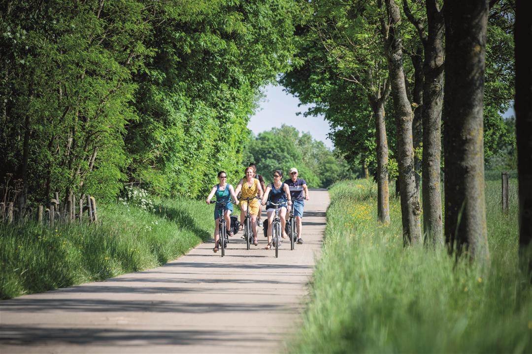
The Velpe and the Gete rivers take you through a landscape full of fruit orchards, from one village in the Hageland region to the next. For quite a while, you’ll cycle along the delightful car-free stretch of the IJzerenweg, which takes you almost in a straight line from Geetbets to Neerlinter. The former railroad line transported sugar beets and seasonal workers from the surrounding municipalities to the Tiense Sugar Refinery. Time for a break? Then take a seat on the hexagonal beams of the Bijéénraad, a whimsical artwork in Molenbeek-Wersbeek that pays homage to a beehive.
automatic translation
 nodes to follow
0 km
3.5 km
3.5 km
5.7 km
7.2 km
7.6 km
9.8 km
13.1 km
14.2 km
17.9 km
18.2 km
20.1 km
24.5 km
24.8 km
28.3 km
28.4 km
31.1 km
34.2 km
36.9 km
39 km
40.5 km
41.9 km
45.2 km
48.1 km
Thursday, September 4, 2025 by guy buekersroute through fields, orchards and old streetcar beds. if you want to have a drink or something along the way you have to bring it yourself...extremely little along the way to have something to eat.
automatic translation
Saturday, October 7, 2023 by Jan Van den BoschPart of the route is car-free or car-low but then you ride on the regular secondary road. One part is beautiful with excellent trails, picnic opportunities. Another part is tedious and dead ordinary. During the blossom period perhaps very colorful.
automatic translation
Sunday, April 24, 2022 by Danny SwinnenHave enjoyed beautiful views and nature on the entire route . Very car lee , and even a very large part , via the old train route , no motorized traffic at all . Except for some tough cobblestone sections , the road is in very good condition . This route is highly recommended .
automatic translation
Monday, March 28, 2022 by Danny SwinnenThe deadly distance of 300 m was removed from the tour by the provider. Because of this you now do not pass through the flower village of Waanrode. However, I can confirm that this short narrow passage was improved by the municipality so that you can pass very smoothly with a bicycle .
automatic translation
Monday, October 18, 2021 by Simone KennedyBeautiful bike route with beautiful roads, lanes and bike paths through agricultural areas and small villages. The inclines were not too bad with our non-electric bikes. The "deadly distance" of the first reviewer is stretch of about 300 meters that is very narrow, where you have to be able to keep your balance, along a ditch. We liked the stretch.
automatic translation
Sunday, August 15, 2021 by Lieve Willemshalokes, very nice and quiet route .After reading previous review did a detour between 39 and 40 39-90-360-41.enjoyed from start to finish . Only take food and drink with you . Only 1 cafe open . do that tour !!!
automatic translation
Friday, August 13, 2021 by J.D.The whole route is wonderful cycling fun, but between node 39 and 40 there is suddenly a deadly distance to fight. That's not doable by bike, we did that distance on foot. Fortunately we did not encounter any oncoming liggers, then the question was who was going to turn right around. Too bad about this section.
automatic translation


 Upgrade to Premium Plus
