 Hiking
 Login
Login More
More EN
EN Premium
Between Brakelbos and Muziekbos hiking trail
automatic translation
22.4 km • 9960 Brakel
 official route
22.4 km
0.0 km
0.0 km
route offered by
 Addresse starting point (approximate)
Brakelbosstraat in Brakel
 signage
The route is fully signposted with nodes.
© Toerisme Oost-Vlaanderen
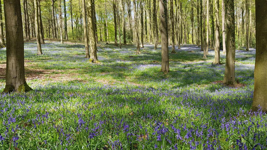
 Description
On this brisk hike, you'll tick not one, two, but three forests off your hiking bucket list! Explore the Brakelbos, the Muziekbos and the lesser-known (but no less beautiful) Bos Ter Rijst. During the month of April this route is extra beautiful, because then you can spot purple hyacinths in all three forests.
automatic translation
 nodes to follow
0 km
2.7 km
3 km
4.1 km
5.3 km
8.3 km
8.8 km
9.9 km
10.5 km
11.4 km
11.6 km
11.7 km
12.1 km
14 km
17.9 km
18.9 km
21.1 km
22.3 km


 Upgrade to Premium Plus
