 Hiking
 Login
Login More
More EN
EN Premium
Pleasure Tour Ternell - "The forest of the Dukes"
8 km • Eupen
 official route
 Addresse starting point (approximate)
Monschauer Str. - Ternell 2-4, 4700 Eupen
 signage
The route is fully signposted with nodes.
 Description
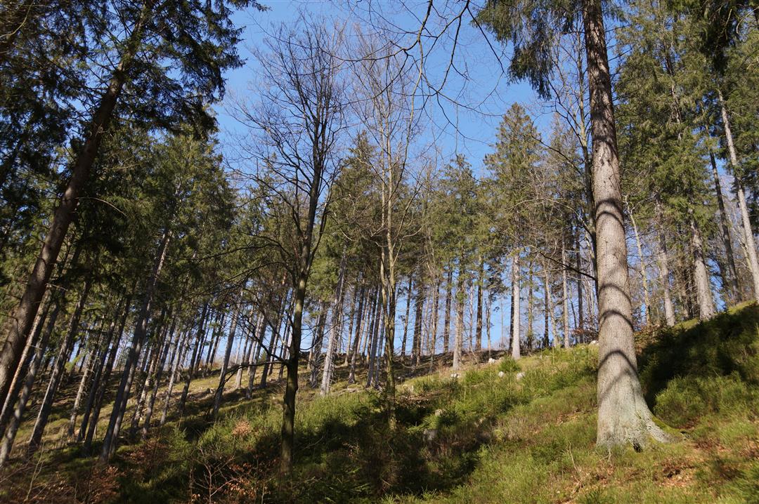
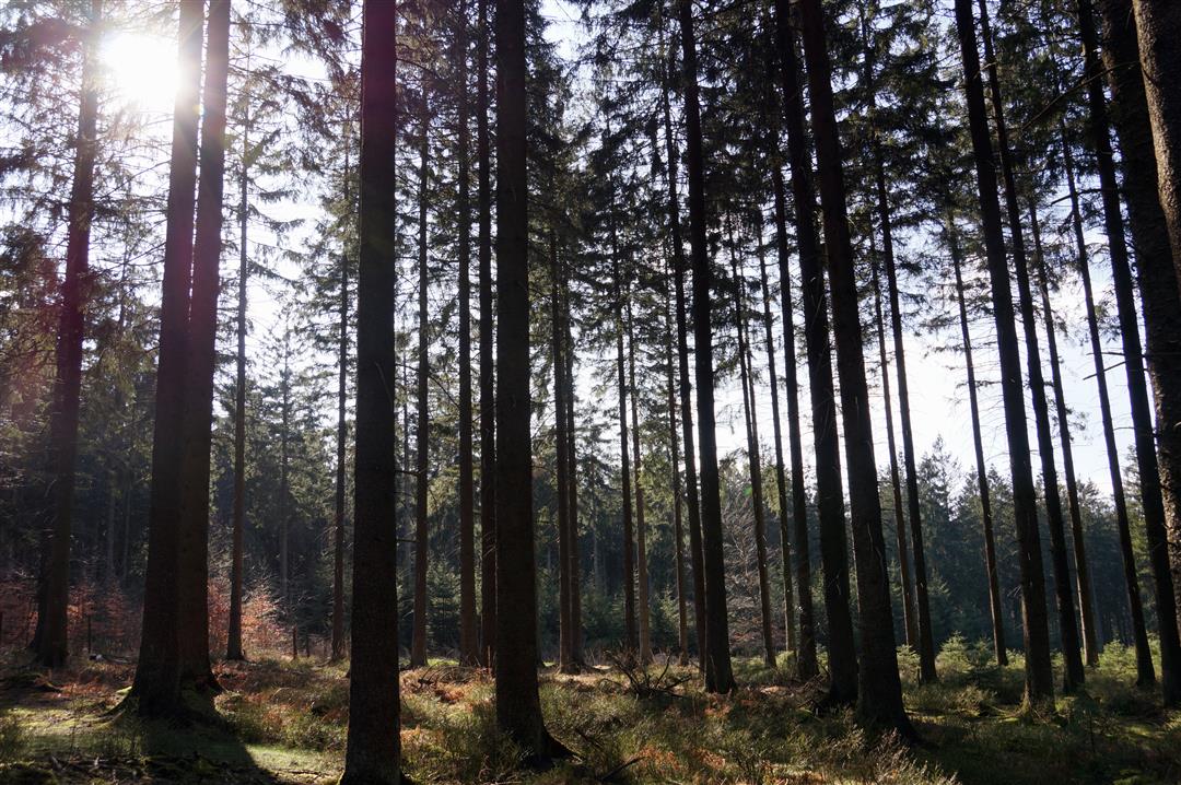
The centuries-old Hertogenwald bears its name with good reason: In the 17th century, Haus Ternell, in the heart of the Hertogenwald, served as a hunting lodge for a wool industrialist from Monschau. Today, it's the ideal starting point for walks and hikes. The clearing is some 500 metres above sea level and takes you into Belgium's largest enclosed forest area. Just a few steps and there you are, already deep in the forest, surrounded by green undergrowth. Yet the Hertogenwald is the very opposite of a sombre fairy-tale wood.
The sun's rays penetrate the leaf covering and make the streams and rocks glitter. At the end of the trail lies a lost valley. Isolated tree stumps rise from the dark river bed. Between granite rocks and steep slopes, we follow the little river, which grows and grows before it joins the Weser. At the halfway point, the path leads uphill again, so that we reach the opposite bank. Here the Getzbach flows, and it accompanies us back to Haus Ternell, where we started from.
Signposting: 62 - 71 - 5 - 49 - 25 - 36 - 96 - 62
Parking: at Haus Ternell
Equipment: hiking shoes with ankle support & water bottle
 nodes to follow
0 km
0.9 km
2.2 km
2.6 km
3.9 km
4.1 km
6.6 km
8 km


 Upgrade to Premium Plus
