 Hiking
 Login
Login More
More EN
EN Premium
Strolling through dunes route
10.2 km • Knokke-Heist
route offered by
 Addresse starting point (approximate)
Graaf Leon Lippensdreef 10, 8300 Knokke-Heist, België
 signage
The route is fully signposted with nodes.
 Description
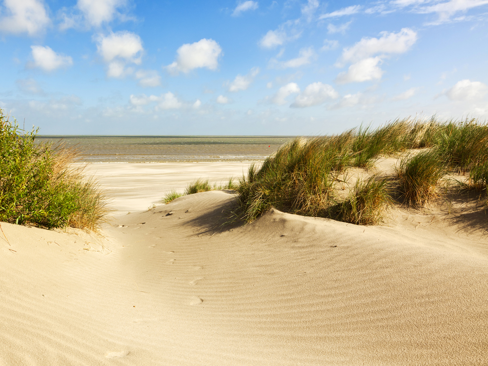
A real walk in the dunes! You start in the nature reserve Zwinduinen en -polders and first walk - or stroll - through the area Kleyne Vlakte to continue to the Koningsbos in Knokke-Heist. This forest, in turn, is part of the larger Blinckaertduin forest. A bare, high ridge of dunes that reflects the sun is popularly called a "bleacher" or "blinkert. And so you immediately know where the name of the Blinckaertduin forest comes from. By the way, this forest is home to a lot of woodpeckers, so a little hammering - yes, even on a Sunday - is something you have to put up with.
From here, crossing the Zoutelaan, you return to the area where you started: Zwinduinen en -polders. This nature reserve is 222 ha large and borders the Zwin. You can find different species of birds here as well as "natural" mowers such as shetland ponies, konik horses and dune goats. Also don't forget to enjoy the beautiful view of our North Sea!
automatic translation
 nodes to follow
0 km
2.1 km
2.2 km
3.3 km
3.3 km
3.5 km
4.5 km
5.3 km
6 km
7 km
7.6 km
7.7 km
9.6 km
10.1 km


 Upgrade to Premium Plus
