 Hiking
 Login
Login More
More EN
EN Premium
Up and Down the Amerongse Berg
automatic translation
13.3 km • Amerongen
route offered by
 Addresse starting point (approximate)
Burgwal 6, 3958 ER Amerongen, Nederland
 signage
The route is fully signposted with nodes.
 Description
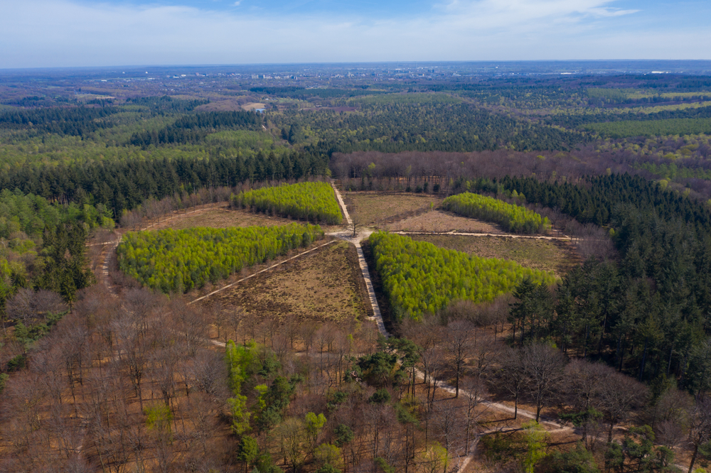
Discover the stunning Utrechtse Heuvelrug during a refreshing walk of over 13 kilometers. You will hike on the Amerongse Berg, the highest point in the province of Utrecht. Here, you enjoy breathtaking views over the Amerongsche Bosch, one of the oldest forests in the region, once the hunting ground of nobility. On the mountain, you find peace on a bench under a stately solitary oak.
The route continues towards the mysterious Egelmeer, ensconced within the Prattenburg estate. This wet heath area, only a dozen meters above sea level, exudes tranquility and exemplifies Staatsbosbeheer's nature conservation efforts. The Amerongse Berg forestry demonstrates its efforts to harmoniously connect heath areas, where you as a hiker witness these beautiful restoration endeavors. Make sure you have enough space on your camera or smartphone, as this hiking route guarantees unique snapshots!
automatic translation
 nodes to follow
0 km
0.2 km
0.4 km
2.4 km
2.5 km
2.6 km
3 km
5.1 km
6.1 km
8.5 km
8.9 km
12.3 km
12.9 km
13 km
13.2 km


 Upgrade to Premium Plus
