 Hiking
 Login
Login More
More EN
EN Premium
Dune Light Path
automatic translation
10.1 km • Ouddorp
route offered by
 Addresse starting point (approximate)
Groenedijk 32, 3253 LB Ouddorp, Nederland
 signage
The route is fully signposted with nodes.
 Description
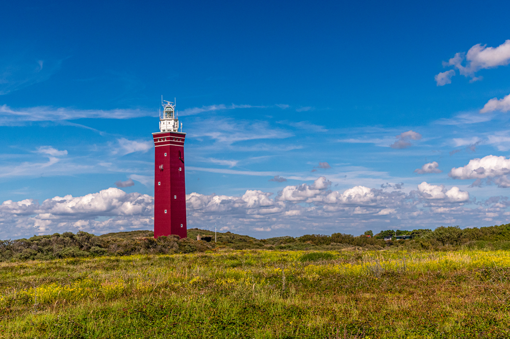
You walk along the West Dunes, where you are surrounded by rare flora such as knapweed and slender gentian. As you near the beach, you see the Westhoofd, the iconic lighthouse that has withstood time. Witness to centuries of history, and rebuilt after its destruction in World War II, this tower stands as a red brick beacon in the dunes. Although not open to the public, the majestic presence of the lighthouse is an unmissable highlight. This historic national monument complements the natural beauty of the route, offering a rich experience where nature and Dutch maritime history come together.
automatic translation
 nodes to follow
0 km
1.7 km
3.2 km
3.4 km
3.5 km
4.4 km
4.6 km
5.6 km
8 km
10 km


 Upgrade to Premium Plus
